|
| Mission Peak, February 5, 2019 |
Date: February 5, 2019
Place: Mission Peak Regional Preserve, Fremont, California
Coordinates: 37.504397, -121.908640
Length: 6.5 miles
Level: strenuous
The weather forecast predicted snow in the Bay Area, something which rarely happens. When I woke up and looked outside I didn't see any. An hour later Pappa Quail called me from the road while taking the elder chika to school. He advised me to leave home earlier to get the younger chika to school on timer because the traffic lights were out. He also told me that I should look at Mission Peak when I get outside. I asked if there was snow and I heard the chika's hoots from his back seat and took it as a confirmation of snow on Mission Peak. I hurried the younger chika to put on her shoes and get ready to go. Meanwhile I quickly grabbed the small point n' shoot camera and my hiking poles that lay by the door and threw them in the trunk.
Sure enough - Mission Peak was white. I dropped off the younger chika at school and turned the car southeast. Whatever I had planned to do today was put on hold: I was going to hike up to the snow, maybe even to the summit.
 |
| Near the trailhead, 8:35 am |
I found the last available spot in the small parking lot of the Stanford Ave. trailhead, threw on my sweater, found that I had no bottle of water with me so I took a couple of soda cans and stashed them in my pouch. I took the camera and the hiking poles, and started up the trail.
There were many people at the small staging area. Most only wanted to take a look and snap some photos. Others seemed to my like Mission Peak regulars - the people who go up routinely and no snow would stop them. But there were people there who, like me, were there because the snow-capped peak called them.
I started hiking up right away. The beginning was easy enough, the familiar gravel road steep enough to get the blood pumping but not too steep. It didn't take long, however, before things got much more difficult, and that was because the trail turned impossibly muddy. My progress slowed and I took the opportunity to turn around and look at the view below. As always, it was reassuring to se how high I got already, rather than think of how much I still have to climb.
One thing I could see right away was that the peninsula peaks also got snow.
 |
| Peninsula snow |
I trudged up in the mud, making a good use of my hiking poles. I walked so slowly that it seemed to my as if the entire population of Fremont was passing me on the way up. In fact, there were much fewer people on the trail than I had expected, given the full parking lot below.
I could hear the call of wild turkeys from a distance. I looked and saw some turkeys running down the next hill over. After a few turns on the trail I could see them on a round, green ridge, busy showing off their stuff. They were quite far still but I took some photos anyway.
All of those turkeys were male. Either the females were out of sight (which is where they usually try to be), or that the males were practicing for the real thing later in season. either way, it was fun to watch them do their show.
 |
| Wild Turkey, all male |
There were also many cows on the slopes and nearly all of them had your calves. I smiled at the sight of two calves rubbing their chins at a bench near the trail.
As pretty as the cows look, dotting the green pastures, they do serious damage to the hiking trails Their hooves break the soil and mix it up into this pasty soft clay that sticks to the soles. In no time I was walking in high platform shoes.
Water was running everywhere and it dug a rut in the middle of the trail. Being a hiker, these conditions slowed me down considerably. The most adversely affected, however, were the bikers. Usually they would pass the by on their way up and I would gaze envyingly at their bulging calf muscles, but today I walked steadily up and passed one biker after another as they pushed their bikes through the mud. Many gave up partway but others insisted on pulling their bikes by hand, hoping for a better terrain higher up.
Clouds came down on the peak and the morning darkened. I worried that it might rain, but no precipitation ensued.
 |
| The hills south of Mission Peak |
Mission Peak became shrouded in fog. All the runoff water made me worry that the snow will melt faster than I could climb so I quickened my pace. Behind me came I could hear the plops of strong strides in the mud and a loud male voice that announced, " Light sweater and Levi's! All cotton!" Yes, he was talking about my apparel. I turned around and saw a tall, elderly fellow wearing shorts and a coat, striding vigorously uphill. He nodded his head at me.
I was ticked. Yes, cotton isn't the best wear for a cold day but I didn't ask for a wilderness survival lesson. I told him that I had lived through seven Wisconsin winters and I'm sure to survive a short day hike up Mission Peak. Anyway, it wasn't all that cold. The snow was already melting fast.
The guy laughed and agreed that I probably would. Then he continued talking about the trail's conditions and about how magnificent the Peak was back in 2011 when if was as snowy last. He went on describing Mount Rose at the Ohlone Wilderness under snow and by then I was salivating - I've been wanting for so long to hike the Ohlone Wilderness Trail! I warmed up and we chatted for a few minutes before he picked up his speed and continued striding fast uphill, leaving me behind to walk at my own slow pace.
And then I saw the snow, or what remained of it, at that elevation. It was clear that the snow line was much lower earlier that morning but I was also reassured that at the pace I was walking I would get to the real snow before it melts.
 |
| Snow leftovers |
It was about a mile and a half up the trail that these snow gems became a dominant feature of the slope's appearance.
Half a mile later the ground was more white than green. I came upon an ice-coated bench and stopped to remove an annoying stone that managed to get in my shoe. Then I looked around and took some photos.
As I looked at the view below me I could see a fast passenger train cutting through the salt ponds of the South Bay. Decades ago there used to be a town there - Drawbridge. It's been deserted since the seventies and is now an inaccessible ghost town that's sinking into the bay. In the photo below the train has just passed some of Drawbridge's collapsing structures.
 |
| Amtrak train passing through the ghost town of Drawbridge |
Then a biker came over and asked that I'd take his photo with the snowy slope in the background. I remembered seeing him earlier pushing his bike through the mud. By the time I finished talking with him my sweat-soaked clothes have chilled and I got a less condescending reminder of why cotton would be the worst textile to wear on a cold day.
 |
| On the mountain's shoulders |
But it wasn't all that cold after all. As soon as I got moving again the chill was gone and new warmth of exercise filled my body. Moreover, I could see the clouds parting - soon I'd be in the sunlight.
The one thing I should have taken was sunscreen.
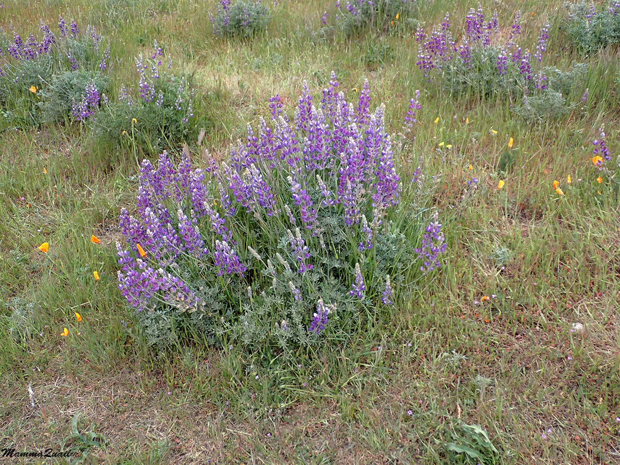
Like many other East Bay parks, the land of Mission Peak Preserve is leased for cattle grazing. Cows were roaming all over the place, including the snow-covered areas.
 |
| Snow cow |
Up on the peak's shoulders I was walking through a field of snow. Not a complete cover, but pretty impressive for the Bay Area. Below me was the backpackers' campground but I could see no evidence that anyone had stayed there last night.
From that point I could also see the view to the east. I could see light snow dusting up the tall peak of Pleasanton Ridge. I tried looking for Mt. Diablo, expecting to see it all white, but the most prominent mountain of the Bay Area was completely hidden in clouds. A few glimpses I got of it through brief openings of the cloud cover confirmed that it to was covered with snow. East of Mt. Diablo (not in the photo) the Morgan Territory was visible, and white with snow. Even Brushy Peak had some!
 |
| View northeast |
It was the same deal with Mt. Hamilton to the southeast - it too was completely hidden in the clouds. But I did get a very nice view of the Ohlone Wilderness.
I started ascending the peak. The trail was still partially frozen so I had to walk carefully. The melting snow cut a small canyon through the soil and I followed the mini stream and its water features as I walked up.
 |
| 'Mission Peak Rapids". |
At the final trail turn before the peak there is a narrow bench. A couple of small snow figures welcomed me there. I thought that if my chikas were with me they would have added their own to this transient art display.
 |
| Snow figures |
The last trail segment leading to the peak ascends steeply through a wild rocky area. On a dry day these rocks would be covered with dust and I never gave them much attention.
 |
| View northwest from the peak trail |
Today, however, I did see what I have always missed before: those rocks had fossils! Seashell fossils matching those I've seen in Sunol Regional Wilderness, across the valley to the east.
 |
| Remnants of an ancient past |
Now that I was up in the snow I was in less of a hurry to get to the peak. The fellow who commented on my apparel earlier was now striding down the trail on his way back. He informed me that the actual peak was not where the view pole was but a few yards south where the pile of rocks was. I wished him a wonderful hike down and continued up to the peak, enjoying each step of the way.
 |
| View southeast |
One of the beautiful sights I've seen there was that of the frosted old fennel inflorescences. They looked like delicate ornaments.
 |
| Frozen Fennel |
There were quite a few people up the peak and more were coming up behind me. It was impossible to get a people-free photo of the view pole or of the peak itself (that pile of rocks to the south) but as I distanced myself a little I did get a view of the pristine snowfield south of the peak. I felt as if I ascended a much higher mountain and was walking through a true snow wilderness.
 |
| View south from the peak |
Glancing to the west, however, ruined that impression. The snow line was much higher now, and below the urban South Bay was bustling with motions.
After checking the time I decided to take the side route down rather than backtracking on the main trail.
After a short break I started walking south. downhill. Water was running on the trail and the melting snow was glistening. A few vultures circled above and as I attempted to photograph them they landed, one by one, on nearby rocks. Then they spread their wings out and sunbathed, giving me a perfect view of their backsides.
 |
| Turkey Vultures |
Another sight there that probably wouldn't have grabbed my attention if not for the snow was a small shrub that complements d perfectly the rocky ridge line above me.
Then I saw some movement on the trail: a miserable looking potato bug, a.k.a. Jerusalem Cricket, was crawling slowly on the muddy trail. It must have been pretty cold.
 |
| Jerusalem Cricket |
Further down the trail was blocked by a number of cows and their baby calves. I feared they might get aggressive (I have experienced aggression from mother cows on trails before) but these ladies didn't so much as moved and ear as I passed them by.
 |
| Snow cows |
Down at the Peak's shoulders the trail got much steeper. It was wet and very slippery and I had to walk very carefully and rely heavily on my poles.
A fast hike came uphill toward me and as he got closer he wished me a happy new Year of the Pig. Apparently it was the Chinese New Year's day. We chatted a bit and figured out that we were both the same Chinese zodiac year. Then we wished each other continued good hike and he continued dashing up while I continued placing carefully one foot in front of the other, trying ti stay upright.
Just below the peak there are a few springs that feed the small creeks that run down the mountain. A pretty grove of laurel and oak ad some other trees and bushes grows there.
I think it was my first time seeing snow-covered laurel trees.
 |
| California Bay, Umbellularia californica |
The laurel trees were blooming. The blossoms made good snow traps.
 |
| California Bay, Umbellularia californica |
The snow was thinning, revealing growing green patches of grass underneath. Cold was no longer an issue. In fact, I was starting to feel hot.
I paused to let myself cool with the breeze a little. The salt ponds below were shining in he sun like a broken mirror.
 |
| Newark's salt ponds |
Another hiked was coming uphill. As he came near me he warned me that the trail below was very muddy. A little bit further down I realized that he was not exaggerating at all.
Now it became a struggle to keep my shoes on, as the clayish mud seemed to cling and pull them off my feet with each step. As long as the grade was mild that was my only concern but as soon as the trail got steeper again (and some parts of that trail are really steep!) I had by balance to worry about. I am not above butt-sliding when needed but I did my bast to stay upright.
Walking down a muddy slope is tiring. Every now and then I paused for a short breather. Looking up behind me I saw that the snow line had receded almost to the peak itself.
Soon I was below the snow line, walking between the round, green undulating curves of the Mission Peak lower slopes. The trail itself remained very muddy and challenging to descend through.
There were happy birds all around me, singing and chirping. I didn't have a suitable camera with me but I did try to take a few shots when good opportunities came up, like this lovely western bluebird that was guarding one of the trail intersections.
 |
| Western Bluebird, male |
The slopes below me wore intense green, almost like summer in the midwest green. Almost. It looked to my like a European postcard.
The snow was far behind me now. A thing of the past. I was on a nature hike now, paying attention to the small and attractive nature beauties along the trail.
 |
| Mushrooms |
The ground squirrels were active but not very yielding to the camera.
The view below was getting larger and the details clearer. At the bayshore I could see the large pile of salt harvested from the salt ponds before purifying and packing to go to the grocery stores and on our table.
 |
| Salt Plant |
Small spring-fed creeks run down Mission Peak and are populated with low riparian trees such as willows.
The willows at the beginning of their bloom now.
 |
| Salix sp. |
A hiker was coming down behind me in a care-free stride. "If you need me to carry those poles for you I'd be happy to oblige!" he announced gleefully. "But hey, no falls yet!"
Just as he passed me he slipped and sledded a few yards down the slope. "I spoke too soon!" he called back to me as he got up to his feet and continued skipping down the trail in the same quick, carefree manner.
I couldn't get enough of the lovely 'European postcard' views around me. The hills were alive with the sound of music! (In this case the shouts of a crow that was perching on those rocks.)
The Mission Peak snow was as far now as a dream. It was hard to believe that less than a hour ago I was up there in winter wonderland.
There were reports of snow on Mount Tamalpeis and even in San Francisco but none was apparent from the Mission Peak trail.
 |
| Mt. Tam and San Francisco |
A flock of doves swooped by. Some of them landed near me. I enjoyed watching them poking the moist soil between the grasses, looking for worms and other morsels drawn to the surface.
 |
Mourning Dove
|
At no point did the trail conditions become any easier. Even when the slope became milder near the bottom, the mud became harder and much stickier. My knees where already worn out from skid-management and they started hurting.
 |
| High platform shoes |
I made it down to the lower plateau without falling but worn out. I stepped over to the main creek looking for a spot to wash my shoes but decided to leave the shoe-cleaning to when I get home (as I write these words my muddy shoes still wait by the door to be cleaned).
Last year I saw some snow dusting on Mission Peak one morning. I was driving to Sunnyvale for some business and planned to stop and take a photo on my way back. By then, however, merely a couple of hours later, the snow was gone. It was like a mirage.
As I completed the trail I saw many more people starting up the trail. They all looked so happy and I didn't want to tell them about the mud. They'd get to it soon enough. The snow was no longer visible from the trailhead. By the time they's reach the top there would be very little left even there, if any. Bay Area snow is indeed, a mirage.
 |
| Near the trailhead, February 5, 2019, 1:00 pm |
For that one day, however, I got to touch that elusive mirage.