Date: March 23, 2023
Place: Round Valley Regional Wilderness, Brentwood, California
Coordinates: 37.867574, -121.751491
Length: 6 miles
Level: Would have been easy if not for the mud
Round valley Regional Wilderness is one of those places that are seemingly dormant for a large part of the year. A perfect destination for solitude-seekers and people who want to explore trails that are off the beaten path. Later in winter however, this area comes to life in a spectacular way. The hills turn green, almost over night, and the air clears from all the dust and smoke particles. The colors become vibrant and the budding deciduous trees spring forth their foliage in a great celebration of life. when spring comes around, wildflowers add their colorful presence to the already gorgeous scenery. Round Valley is probably the most beautiful East Bay park in this time of year. I planned to take my family hiking group there and invited my friend to join me on the prep hike.
At the beginning of the trail there's a bridge over the creek and a solitary hiker was sitting there and he pointed out a scrub jay to us. The jay was busy eating black walnuts that the man had cracked open for it. While we were looking at the jay and chatting with the man three other hikers passed us and crossed the bridge at a fast pace.
 |
| Scrub Jay |
The hiker also told us that the big loop, the one I had hiked before and had planned to hike today, was closed on the Hardy Canyon Trail side due to storm damage but, "you could go into the valley itself by the Miwok Trail along Round Valley Creek," he said. That would extend the planned hike, but also eliminate most of the elevation changes. We decided to do just that.
 |
| Our hike as captured by my GPS |
The Round Valley Creek was flowing high. As high as I've ever seen it. It was quite a sight from the safety of the bridge above.
 |
| Round Valley Creek |
We run into the first problem right after the bridge: the trail was muddy. Very muddy. That thick, slippery mud of the East Bay. Immediately we found ourselves struggling to maintain steady foothold. Things got much more challenging coming down the slope. I had my hiking poles with me and I passed one of them to my friend, who was very dubious about this trail. She also voiced concern about bringing families to this trail, but the forecast didn't predict any more rain until the family hike date and I was convinced that the trail would dry up by then.
 |
| Muddy Trail |
On the other hand, when the progress is very slow there is more time to look at the little details, such as the small wildflowers that were blooming in the grass.
 |
| Bi-color Lupine, Lupinus bicolor |
A few shooting star plants were blooming along the trail too, most of them were pink. I focused on the single white-flowering plant, though.
 |
| Padre's Shootingstar, Primula clevelandii |
As we were coming slowly down the muddy, slippery slope, the three hikers that passed us on the bridge were inching their way back up. They were beaten by the mud. It was only then that I noticed that they were wearing simple sneakers for this hike, although the sneakers were now almost unrecognizable. As they passed us again, this time on their way back, my friend wondered if we too should go back. I wasn't ready to call it quits yet. I knew that the trail would level off as soon as we got down to the creek.
 |
| Miwok Trail |
I was correct. Once we got to the bottom of the muddy slope the walking became easier. The trail was very muddy still, but at least we didn't need to deal with gravity. The second bridge was much lower above the water and we got a true appreciation of how high that creek was running now.

My friend was completely taken by the views. She said that each photo taken here would be postcard-perfect. I agreed with her.
 |
| A side brook |
Walking into the narrow valley through which the creek was flowing was indeed like walking into some pastoral fairy tale. The vibrant colors and the fresh air intensified our experience a great deal. It was easier to ignore the difficulties of walking through the mud.

We started on the wide dirt (mud) road but when a narrow foot path opened up closer to the creek we chose to go on that one - it looked less muddy and more pretty. It was nice to see up close the intense flow of the creek. From that place I took the photo that heads this blog post.
The aftermath f the storms was visible everywhere. Along the creek banks there were numerous landslides. The displaced soil was already washed by the water but the exposed rocks revealed a very pretty and interesting layers pattern with a perpendicular penetration rock line.
 |
| Geology |
The creek bank was dotted with little yellow flowers that I assumed were buttercups. Soon I had the chance to take a closer look, and indeed these were buttercups.
 |
| Common Buttercup, Ranunculus californicus |
On the other side of the creek was a large patch of little pink flowers. I guessed these were the invasive stork's bill. Upon enlargement of the photo, I did verified them as stork's bill.
 |
| Stork's Bill |
We followed Round Valley Creek all the way into Round Valley itself. The beautiful valley was all green, but much of it was also flooded. The mud was deep and sticky, and in many places it was also mixed with cow 'pies'. The trail itself was al rutted by cow hooves. Our pace, which was reasonable along the creek, slowed down to a near-crawl.

My friend was skeptical abut the possibility of bringing the family hiking group on the following weekend. She didn't think that the trails will dry out by then. I brushed off her concerns, I was so elated by the beauty all around us. I thought of Julie Andrews in the Sound of Music. It wasn't the Alps, but the intense green did bring to my mind European landscapes.
 |
| The Hills are Alive |
We turned onto Murphy Meadow Trail and crossed the little bridge over the creek. Anither trail stretched northwest in the direction of where Mount Diablo was, hidden from view by the lower hills surrounding the valley. The trail looked like a little brook, it was completely flooded. It wasn't the trail we intended to go on anyway.
 |
| Fox Tail Trail |
Cattle was roaming in the valley in small groups. We approached one small group of cows and calves and as we drew near I realized we were going to pass right between a cow and her calf. I tried talking to the calf to go and join his mama but he just stood there and stared at me. We walked by them carefully. The mama cow looked at me intensely and for a moment I feared she might become aggressive, but she didn't budge. As soon as we passed them, the calf suddenly took off and run to jin his mother.
 |
| Calf |
There was a pile of rocks protruding from the flooded grass and we sat there for a short lunch break. We had a lovely panoramic view of the valley all around us, but Mount Diablo remained hidden from our eyes.
 |
| The hills north of Round Valley |
The hills around us were forested with oaks, many of them the deciduous valley oaks. Only a few oaks grew at the valley floor, and each of them looked more majestic than the other. Without competition for light and space, the oaks of the valley grew wide and big.
 |
| Valley Oak, Quercus lobata |
Here and there the muddy trail was completely flooded and we had to find a less wet passage across. Our shews grew muddy platforms and none of their original color could be seen anymore. My shoes were brown to begin with so I didn't care. I did care however, not to step on the pretty red maids flowers that dotted the grass all around us.
 |
| Red Maids, Calandrinia menziesii |
At some point I stopped caring about walking through the water. The southwest part of Murphy Meadow trail was all flooded.
 |
| Murphy Meadow Trail |
From the trail we had a nice view of the south boundary hills of Round Valley. I never saw them from this angle before because each time in the past I hiked around them and haven't entered deep into the valley itself. The closed trail gave us the opportunity to see new parts of this preserve.
 |
| View Southeast |
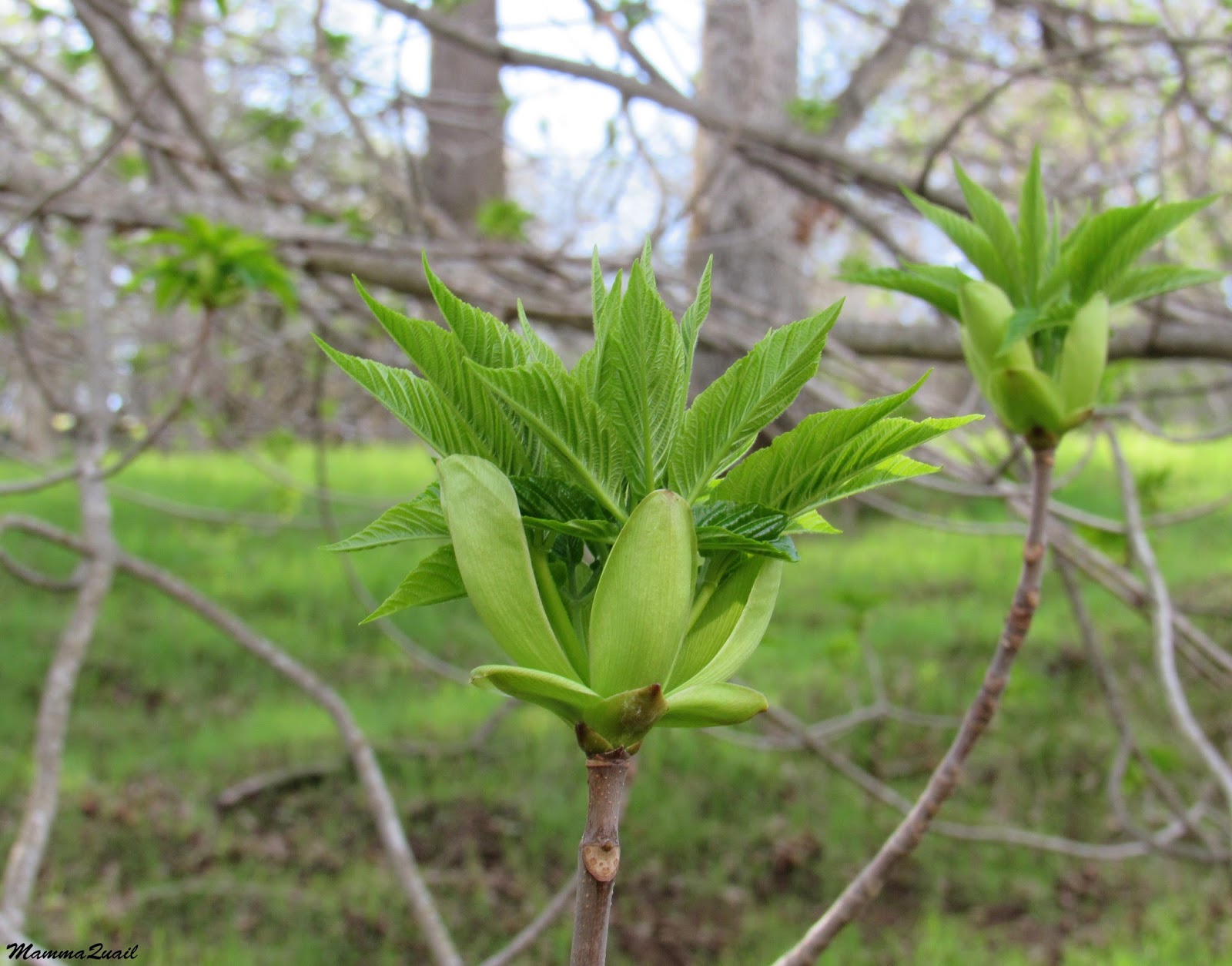
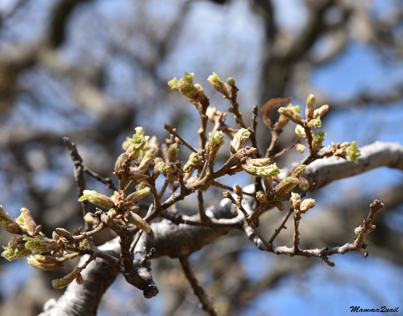
The trail drew near the creek. I knew we would have to cross it at some point but I assumed there would be a bridge, just as there were in the other crossings we hiked through. Meanwhile I simply enjoyed admiring the trees growing along the creek's banks. The large valley oaks were at the early budding stage, while the buckeyes were already fully foliaged.
 |
| Valley Oak and California Buckeye |
For a short stretch there the trail was clear of water. Indeed, it was almost dry. Aware of the time we needed to finish the hike in order to pick up the kids from school, we quickened our pace, now that we could.

We came to the creek crossing and to a screeching halt. There was no bridge to cross on. Clearly, the times in which the creek was too deep to cross at this spot were too short to merit building another bridge. We roamed a bit along the bank, and I already thought we would have to take of our shoes and wade, but we found a place to cross, a bit precariously, on top of a large fallen tree.
 |
| Round Valley Creek Crossing |
It might have beet that point when I finally yielded to the fact that taking families with young kids there might not be the best idea.

My friend, who had that thought since the beginning, endorsed my decision. It was finally sealed when we had to jump across yet anther creek, a side tributary, and immediately after that we had to circumvent a large gap that split the trail.

We reconnected with the Miwok Trail and turned northeast back to the valley opening. Once again we were walking along the main fork of Round Valley Creek, struggling through some parts f the trail that were badly eroded.

The mud however, seemed to have dried out a bit. The day, which started really windy and cold, became warmer, despite the wind, which remained strong.

As we approached the hills I identified the Hardy Canyon Trail, which we had originally planned on hiking, as a thin line descending from that hill. From where we were I could also see the exposed layers of rock on the hill side, something I haven't noticed before, having hiked previously too close to see it.

When we closed the loop we allowed ourselves a short break at the base of a large oak tree. The oak was a valley oak, just beginning to bud out after the winter.
 |
| Valley Oak, Quercus lobata |
After our break we resumed our hike, backtracking now the same route we came to the valley on, the Miwok Trail along the Round Valley Creek. This time we took the dirt road trail, which had dried out considerably since morning.
 |
| Round Valley Creek |
The rusty door hinge sound of the acorn woodpecker call caught my attention. Soon I saw them - a couple that were fussing over a nearby tree. These woodpeckers are very industrious birds, always busy.
 |
| Acorn Woodpeckers |
We walked some of the way on the dirt road but when a higher foot trail split from it, I motioned my friend and we went on that one. From there we had a very nice overall view of the creek below.
 |
| Round Valley Creek |
Eventually the side trail rejoined the main trail. We passed again by the little side brook that we saw at the beginning of our hike and I took another photo of it because it looked somehow different now, in the early afternoon sun.

The oak trees on this side of the park seemed to be farther along the budding process. Their spring foliage was thicker and darker. Very impressive trees, these are.
 |
| Valley Oak, Quercus lobata |
It was a much faster walk back, now that the trail was almost dry. I did pause briefly though, to look closer at the tiny yellow flowers that I had missed on our earlier walk through that trail.

Just before completing the hike I heard turkey call. They called a couple of times, then went silent. On a whim I called at them and they answered me. I called again, and they answered again. This went on a few more times until I realized that there were other hikers on the trail and they were watching me.
 |
| Wild Turkey |
We concluded the hike with no time to space. My friend an I bade each other a quick farewell and drove off to pick up the kids from school. After getting home I sent a cancellation message to my family hiking group. There were just too many obstacles on this trail and I wasn't sure they signed up for an adventure route of this sort. I was glad to have been there though. Late winter really is the best time of year in the East Bay, and specifically at Round Valley Preserve, which is a true jewel of a park.