Date: May 31, 2020
Place: Ring Mountain Preserve, Tiburon, California
Coordinates: 37.921552, -122.494284
Length: 2 miles
Lebel: moderate
Towards the end of May photos started showing up of a unique-looking mariposa lily, one that I have never seen. This mariposa lily is a species endemic (grows only there and nowhere else) to a small area near Tiburon, called Ring Mountain Preserve. Needless to say, the first chance I had I got my family out over there to go looking for this special flower.
 |
| Our hike as captured by my GPS |
We arrived inherited afternoon and parked at the big pullout near the trailhead. There were many other cars parked there, indicating there would be plenty of other people on the trail. I reminded the chikas again about practicing social distancing.
 |
| The Trailhead |
At the beginning we didn't see anything unusual. The grasses were getting their summer brown and most of the wildflowers blooming near the trailhead were non native plants. There were plenty of butterflies flying about, but they wouldn't pose quietly.
The trail bent south and started uphill. The view below was of a wetland creek mouth which looked like a good habitat, but we couldn't see any wildlife from where we stood.
A couple of plum trees near the beginning of the slope had use detained for a few minutes, picking the ripe yellow plums and snacking on them.
We were going steadily uphill, and soon enough I saw interesting wildflowers and started lingering behind. One of the first local wildflowers I saw was the chick lupine. It is a common lupine species but it usually has pink bloom. The Ring Mountain chick lupine was blooming in white.
 |
| Chick Lupine, Lupinus microcarpus |
Small clouds of little white flowers started appearing along side the trail. I didn't think much of them so I didn't take many photos. Later though, I found out these were actually quite unique - a local species of native flax.
 |
| Marin Western Flax, Hesperolinon congestum |
And then there were the common tarweed plants, alate spring/summer bloomer. Long after all other spring wildflowers will have gone to seeds, this one will keep decorating the Bay Area hills.
 |
| Coastal Tarweed, Deinandra corymbosa |
When I raised my eyes from the wildflowers I saw that we were already quite high above the Bay and had a terrific view down to San Pablo Bay and the Richmond Bridge. I also saw that my family had gone up way ahead of me so I picked up my pace and run after them.
A small party of women was coming down the trail. We stopped and had a little chat, keeping a safe COVID-19 distance. I asked if they'd seen the special mariposa lilies, to which they answered enthusiastically that there were many. They also told me about other interesting flowers I might see up there. And of course, the more familiar ones, like the California State flower, the California golden poppy.
 |
| California Poppy, Eschscholzia californica |
The grass had already gone dry on the slopes of Ring Mountain but the numerous wildflowers that bloomed there maintained the liveliness and the loveliness of the place. Many of the blue flowers were western larkspurs that were tall enough to poke through the grasses.
 |
| Western Larkspur, Delphinium hesperium |
We kept going up higher and the higher we got, more wildflower species were added to my list.
 |
| Graceful Clarkia, Clarkia gracilis |
Since the beginning of the hike I told everyone to look for the special mariposa lily for me. Sure enough, they found it before me. Credit to my elder chika who found the first, and the nicest one. After that one we saw many many more, all concentrated in one area of protruding serpentinite rocks. It was certainly worth the trip to Tiburon that day!
 |
| Tiburon Mariposa Lily, Calochortus tiburonensis |
A bit further up the trail we found a place by the rocks to sit for a snack break. The serpentinite soil supports a unique plant community, and there were some fine examples in the area where we sat down.
 |
| Rock Lettuce, Dudleya cymosa |
For most of the snack break I was busy crawling among the rocks looking for interesting wildflowers. At one point Pappa Quail prompted me to look at the view northeast - a dudleya bloomed there in the foreground of San Quentin jail and the San Pablo Bay. The photo I took of that view is heading this post.
 |
| Pitted Onion, Allium lacunosum |
I must say that Ring Mountain isn't exactly a mountain. More like a high hill. Nonetheless, it is prominent and has a distinct peak, and after the break we continued up to that peak,
More wildflowers appeared alongside the trail. A few at first, then large patches of them, butter 'n' eggs.
The peak of Ring Mountain is topped by a large rock called Turtle Rock. When the rock became visible I could see people sitting on top of it. Below was a field of lupine in full bloom.
 |
| Turtle Rock |
The lupine was chick lupine, but of an interesting subspecies, unique to that area as well.
 |
| Chick Lupine, Lupinus microcarpus var. densiflorus |
We left the lupines behind as we made our way toward Turtle Rock. I took the time to look also at the more common wildflowers that poked through the dry grass on the upper slopes of the mountain.
 |
| Hillside Morning Glory, Calystegia collina |
After missing out on much of the California spring bloom because of the shelter-in-place, any wildflowers display was like fresh water to the thirsty soul.
 |
| Coast Buckwheat, Eriogonum latifolium |
Arriving last at the Turtle Rock was too late to stop my chikas from climbing it where so many other people had climbed before them. All I could do was to wait for them with a hand sanitizer when they got back down. Meanwhile I enjoyed the magnificent view.
 |
| Part of Turtle Rock |
The shelter-in-place did good to the air quality in the Bay Area. I honestly cannot recall the last time the visibility was so good. For once San Francisco didn't look blurry.
 |
| San Francisco View |
When it was time to go downhill we started down the other arm of the loop trail, which led us to a dark knoll of live oaks.
There was a nook under the oaks where people has some recreational time leaving too many evidence of their pleasure behind as litter. It was sad to see. We got back out of the trees and continued down the trail.
Coming down we had a splendid view of Corte Madera and the San Clemente creek mouth. To the north loomed Mount Tamalpais, and I could almost imagine the Titans' castle on its summit.
 |
| View north |
Coming down the higher slope I saw member the tarred family - the beautiful rosin weed. They too bloom later in the season and were a nice sight to see between the dry grasses.
 |
| Rosin Weed, Calycadenia multiglandulosa |
Further down we got into the trees again. This time it was a grove of California laurel and the rich bay fragrance filled the air. As I usually do, I rubbed my fingers on the leaves and sniffed them on my way down the trail.
 |
| California Laurel, Umbellularia californica |
The laurels transitioned into live oaks. The trees were aged and twisted, each having its own 'personality'. I would have loved to climb a tree and rest there for a while but my family were already far below me on the trail. Besides, the tree had some occupants already
 |
| Coast Live Oak, Quercus agrifolia |
We passed a familiar flower that caused me to stop at my tracks. It was a rose, and it didn't look like the California rose I usually see on hikes. For a moment I wondered it that was a domestic rose, but I don't know domestic roses like that one. It turned out to be another special flower - tthe Sonoma Rose that grows only in the North Bay region.
 |
| Sonoma Rose, Rosa spithamea |
Don and down we went, passing through small tree groves, open grass slopes, and rocky areas, each with unique landscape and a special plant community.
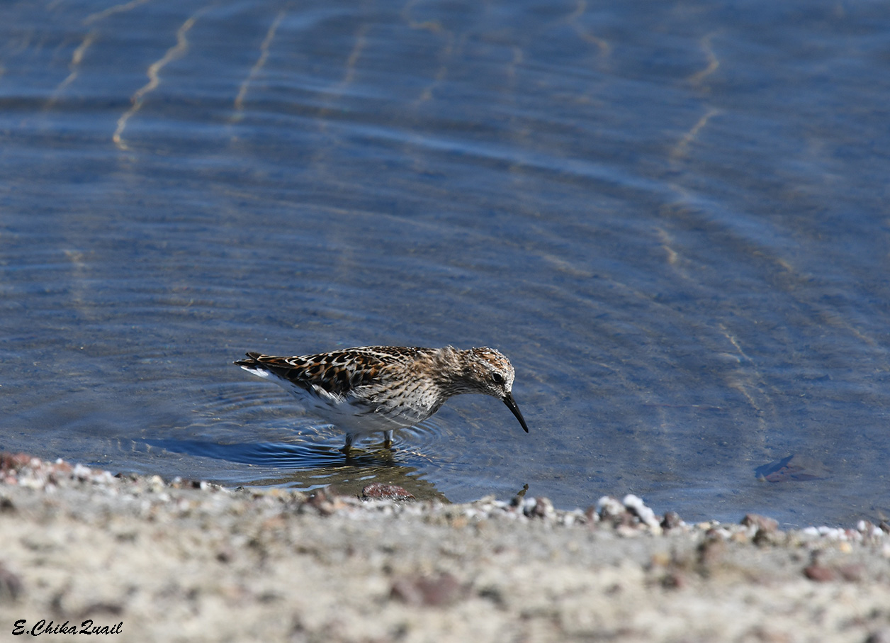
This hike was focused on wildflowers but the birders my family took every opportunity to look for birds. Some of the birds didn't need looking for - they were advertising themselves loudly, in the open.
 |
| Spotted Towhee |
Other birds, although larger, were more inconspicuous, like this young hawk, sitting quietly on top of an oak tree.
 |
| Red-tailed Hawk, juvenile |
I missed the birds, for I kept my eyes on the ground.
 |
| Yellow Monkeyflower, Erythranthe guttata |
The view below seemed larger now. Given more time, I would have loved to go and explore the San Clemente Creek and its estuary wetlands. It'll have to wait for another time though.
 |
| San Clemente Creek |
I came to a staircase. Trying to catch up with my family I skipped the stairs two at a time. I had to halt and give way to a family that was slumbering upstairs. As they were passing me we recognized each other - they were of my family hiking group! So we paused and chatted for a little while before continuing on our separate ways.
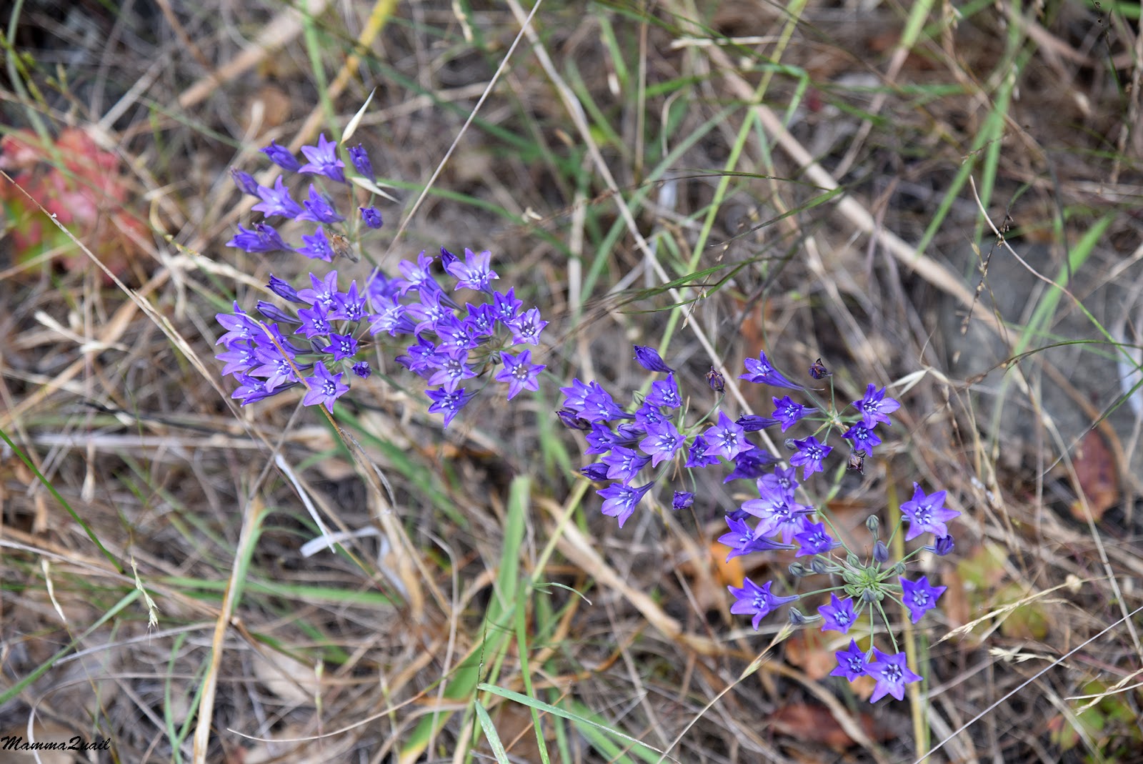
Almost since the beginning of the hike I saw numerous Ithuriel's spear flowers. There were lots of them along the entire trail. They didn't look exactly like those I see on my East Bay hikes, which are larger and paler. At first I thought they might be a different species, but they are in fact, the same.
 |
| Ithuriel's Spear, Triteleia laxa |
On the other hand, the soap plant which I usually see lots of everywhere else was represented in very small numbers on this hike.
 |
| Amole, Chlorogalum pomeridianum |
The Ring Mountain loop trail is not very long but so full of wildflowers and other interesting sights that it takes a while to go through for those who pay attention to its surprises. Still, the hike was over all too quickly, and before we knew it we were back down at the final level trail segment leading to the parking pullout.
Needless to say, we stopped once again to snack on the plums at the bottom of the slope. This time however, we were not enjoying them alone.
 |
| House Finch |
Behind the plum trees bloomed some teasel plants. This is a non-native plant that was brought hither from the old world because its dry inflorescence is used for carding wool. I usually see them already dry and hard but now it was blooming nicely.
|
|
Indian Teasel, Dipsacus sativus, non-native, invasive
|
When I looked up from the flowers I found out that once again my family had already went ahead. They are already at the car when I emerged from the trailhead. A single crow on their above the road called at me, perhaps telling me to come back again next spring.
 |
| American Crow |