|
| Superbloom |
Date: April 17, 2017
Place: Carrizo Plain National Monument, California
Last spring was wonderful. After five years of drought a wet winter happened and in response Southern California burst in a mind blowing superbloom display.
I missed the early wave of this year's superbloom. Unable to travel for a number of reasons all converging on the month of March and the beginning of April, I had to settle for drooling over the magnificent images that fellow flower appreciators posted online.
Once finished our family obligations we were ready for the real fun. Vacating spring break of everything else we packed ourselves with Grandma Quail and headed south to see the desert bloom of Southern California. I have already posted about most of that trip but so far delayed writing about our first stop at Carrizo Plain National Monument. Partly because I have already posted about Carrizo Plain in this blog and partly because of the daunting task of selecting only a few images of the hundreds of photos Pappa Quail and I have taken that day. Now, in anticipation of this spring's bloom I finally finalized this post.
I have posted in the past about our hikes in Carrizo Plain National Monument, including the nice-yet-mediocre bloom display a couple of springs ago. I am therefore not describing these hikes again here and this post is mainly a spring celebration post with lots of flower photos, some animals too, and mainly a show of the dazzling display that this unique place can put on when conditions are right.
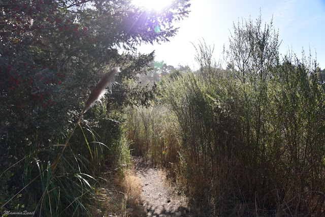
We entered the park from the north and stopped by the
overlook hill and the Soda Lake. We started by going up the hill for a look around.
 |
| Onion, Allium sp. |
I remembered the Snake's Head plant from a previous visit there, when it was almost the only wildflower that bloomed. Now there were many of them, all blooming.
 |
| Snake's Head (Malacothrix coulteri) |
We made our way to the hill top. Slowly - because there was much to see. The sky was overcast, contrasting the brilliance that shone from the flower fields at the valley floor.
Many of the flowers were of familiar genera, only bigger and more beautiful than I've ever seen before.
 |
| Baby Blue-eyes, Nemophila menziesii |
And that was the first time I've seen all of these together, within a relatively small area. Needless to say, we didn't cover much distance.
 |
Cream Cups, Platystemon californicus
|
Before long our entire family was spread out all over the hill, each of us doing her own individual exploration.
 |
Smooth Tidytips, Layia chrysanthemoides
|
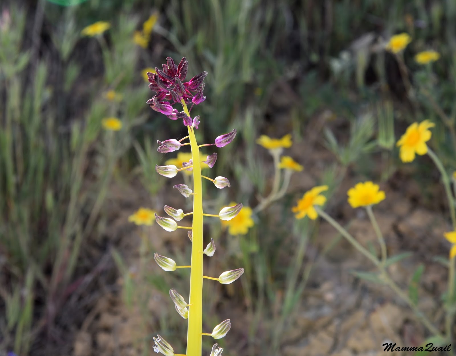
As I expected, many of the wildflower species were new to me. Many of them are restricted to the Carrizo Plain area and bloom only every few years when the rains are good. Seeing these is all about timing.
 |
| Crinkled Onion, Allium crispum |
Somehow we managed to get to the top of the hill where we joined the people that were already there and gazed down upon the Soda Lake below. The lake was highest that we've seen it yet.
 |
| Soda Lake |
If I thought the bloom fields on west of the lake were impressive, the eastern side of the lake really blew me away. The color was so intense it looked like a huge paint spill. Even more impressive were the yellow patches on the Temblor Range east of the Plain. There are impressive especially in light of the normal dry and dreary appearance of these mountain on any other time.
Moving slowly downhill were walking on a narrow foot path in a field of larkspur blossoms, of more than one species. I don't think I've ever seen before larkspurs in such a high density.
I have also never seen so many people at Carrizo Plain before. Sadly, not all of the flower appreciators that visited there appreciated them enough to stick to the trails - there were many trampled areas where the flowers were flattened to the ground, broken by careless feet.
 |
Sphinx Moth visiting a trampled larkspur
|
We returned to the road, crossing it on the way to the Soda Lake trail. A small bird stood in the middle of the pavement, singing loudly. Papa Quail documented - a horned lark.
 |
| Horned Lark |
Walking to the Soda Lake was like walking through a sea of gold with occasionally contrasting bloom of a different color.
 |
| Larkspur on goldfield background |
As impressed as he was with the spectacular bloom Pappa Quail didn't forget his primary passion and aimed his camera at every feathered being in sight.
 |
White-crowned Sparrow
|
No matter how common they were or how many photos of that species he already had - every bird in every setting looked beautiful. Especially those who posed nicely atop the tall bushes.
 |
| Western Meadowlark |
The chikas found a pretty lizard on the trail and for some time we stood near it in admiration. The lizard didn't seem concerned, just looked back at us until we walked away.
 |
Common Side-blotched Lizard
|
That lizard (and a few others of that species we saw later on were the only reptiles we've seen that day. Birds, however, were plentiful. Including species that we've only seen before on previous visits to Carrizo Plain and nowhere else.
 |
| Bell's Sparrow |
It is a short hike to the Soda Lake, but we took it slow, stopping to take in the view and admire every flower.
 |
| Dense Owl's Clover, Castilleja densiflora |
Grandma Quail was particularly thrilled. The two of us lingered behind in the rear and discussed the fantastic display of colors.
 |
| Great Valley Phacelia, Phacelia ciliata |
Light clouds covered most of the sky but Pappa Quail fund a clear bit of blue to capture. Coincidently, there's a bird in that frame ...
 |
| Red-tailed Hawk |
The lake was higher than I remembered from our previous visit but still much lower than it could have been. I love the looks of it and the wide expanse of the Plain all around.
 |
| Soda Lake |
We went on the boardwalk along the lakeshore. The elder chika almost run to the end where she found a bench and stretched herself over it, unwilling to get up. Eventually however, we managed to get her walking back again, promising that lunch would happen soon.
 |
Alkali Goldfields, Lasthenia ferrisiae
|
Lunch at Carrizo Plain NM means picnic. we drove to the park's visitor center where we knew were some picnic tables. The visitor center was, as always when we're there, closed. We ate facing a beautiful yellow patch on a nearby hill and debated where we should go next.
Lunch didn't take long and neither was our decision. After packing up our dirty dishes and leftovers we started towards the Caliente Ridge, stopping only a gazillion times to take photos of the yellow wall-to-wall carpet on the valley floor.
The dirt road up to the campground and on to the Caliente Ridge is very narrow and in some places very steep. Pappa Quail was at the wheel but I kept interrupting him, requesting frequent stops to take flower photos.
 |
| San Joaquin Blazingstar, Mentzelia pectinata |
The display was spectacular. Considering how impressed I was on my previous visit there, this time I felt breathless. My camera was clicking non-stop and I could not and did not want to curb my vocal excitement.
 |
| A yellow bouquet |
The dirt road was very narrow, allowing only one car through for most of its length. Every now and then another vehicle would come done the road and one of us would have to back to the nearest wide-enough area where we could pass each other.
 |
| Blue Dicks, Dichelostemma capitatum |
We met several other wildflower appreciators this way and had to do the car dance ever so often.
 |
| Bladderpod, Peritoma arborea |
When we finally arrived to the little parking area up the ridge we found it nearly full. We added our vehicle to the line of dusty cars and went outside to explore.
|
|
Carrizo Plain, view from the Client Ridge
|
The views were stunning all around. Dominant was the yellow color, but in between were patches of purple and white.
 |
| Purple and Yellow |
The purple was mostly phacelia, but other, smaller blue and purple flowers contributed to the fantastic color display.
 |
| Chia Sage, Salvia columbariae |
The vast floral carpets were impressive but so were the color combination of closely-set different species. I couldn't have made a better flower arrangement.
And then there were those who stood out.
 |
| Desert Candle, Caulanthus inflatus |
The elder chika found a grasshopper and the little critter remained on her hand long enough for the photo. As fascinated as the chikas were with the flowers, the animals were a better attraction to them.
I suppose I went through that phase too. I still love seeing wildlife, but this trip was all about wildflowers.
 |
| Indian Paintbrush, Castilleja affinis |
Even those we've seen there before looked bigger, more numerous, and generally more impressive. It was a good year at Carrizo.
 |
| Wind Poppy, Papaver heterophyllum |
We hiked the small loop on top of the Caliente Ridge. In the back of my mind I had the thought of maybe walking the
entire trail to the antenna peak but when I brought this thought forward Pappa Quail remained me that I also wished to see the Temblor Range and that we still has a long trip ahead of us.
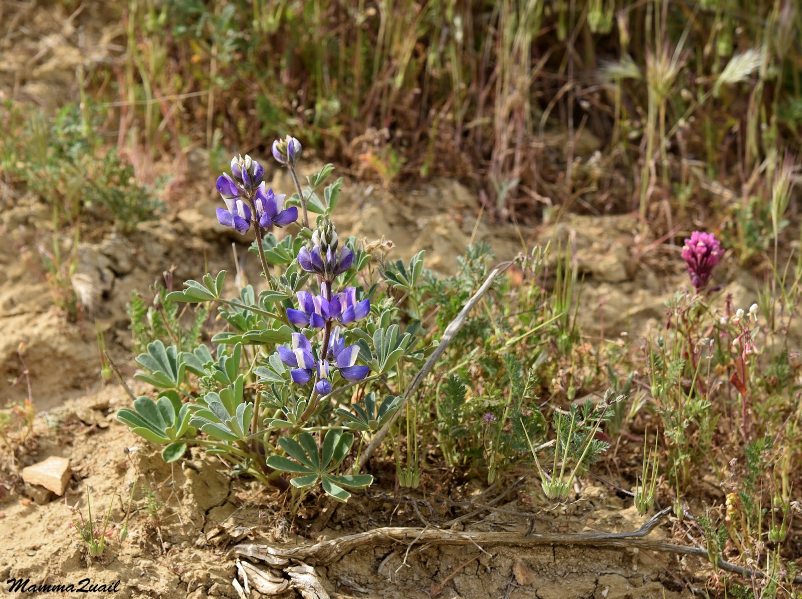
 |
| Lupine, Lupinus sp. |
So sorrowfully I had to settle for the shorter loop.
 |
| Shrubby Ragwort, Senecio flaccidus |
The beautiful display wasn't limited to the area between Caliente and Temblor ranges. The westward view revealed floral carpets stretching all the way to the horizon.
 |
View northwest from Client Ridge.
|
On our way back down I was at the wheel. Not tired for a moment from all the yellow I stopped and got out of the car to photograph the hillside, to take a deep breath, and to say goodbye to the Caliente mountains until next time.
We drove all the way down to the Plain and found the dirt road which crosses to south of the Soda Lake eastward. It took us about an hour to get to Wallace Creek and the day was getting short.
Already from far we could tell that the peak bloom was over. I tried not to show too much disappointment when we came to a stop and saw hardly any bloom there. Still, the hills were green and not grayish-brown as we've seen them before.
 |
| The trail along the fault line |
The place wasn't completely devoid of flowers but after the spectacular display west of the Soda Lake its was somewhat anticlimactic.
 |
| Indian Clover, Trifolium albopurpureum |
Wallace Creek is one of the places where the San Andreas Fault is visible, or at least, it's line of movement is.
 |
| The faulty bend of Wallace Creek |
It was there that Pappa Quail first saw the lark sparrow, but it was on this trip that he got his best shot of that bird.
 |
| Lark Sparrow |
Grandma Quail was already weary and didn't want to go uphill, so we walked bit along the fault line and then back.
 |
| Lupine, Lupinus sp. |
I met again the rare Salinas milkvetch shrubs that I saw blooming on our first visit there. It was January then. Now we were in April and the milkvetch wassail done blooming and laden with pods.
 |
| Salinas Milk Vetch (Astragalus macrodon) |
I did go on the trail uphill and the elder chika came with me. From there I could see that higher up on the mountains slopes there still was quite a bit of bloom.
 |
| The Temblor Range |
Pappa Quail found a squirrel. Later he identified it as the endemic Nelson's antelope squirrel.
 |
| Nelson's Antelope Squirrel |
Back at the parking area he found a less rare animal waiting on the barbwire near the car.
 |
Mourning Dove
|
There is a famous photo on the internet showing a deep gulch with a flower display on its slopes so astonishing that the reality of this photo has been doubted by many. While this photo decorates now webpages of different places around the world, it was presumably taken somewhere in Carrizo Plain National Monument. Although I was not able to find the origin of that photo I believe it is real and that the location is correct. I believe that photo was taken somewhere at the Temblor Range and I wanted very much to find the actual gulch where it was shot. Unfortunately we did not have the time to go up every dirt road on the range so I had to settle for the wider vales that we saw on our way south along the Temblors.
 |
| Bloom on Temblor Range |
The sun was disappearing and daylight was fading quickly. We left the National Monument driving slowly on a dirt road cutting through the Temblor Range. Just before descending down to the oilfields of Taft I stopped the car again and looked out. The high slopes of the mountains were alight with bloom. Down below the eastern slopes looked brown and barren. We were on our way out of the Garden of Eden.
We had spent that night in Bakersfield. Still reveling in the day's sights I believed that would be the highest point of our trip. I was proved wrong. Very wrong, in fact, because on the following day we were entering the Mojave Desert and a an entirely different
Garden of Eden. Still, it was our best visit at Carrizo Plain National Monument and I have no doubt it wasn't the last.