|
| Mono Lake, South Tufa, October 2011 |
Date: January 4, 2015
Place: Mono Lake, South Tufa, Lee Vining, California
Coordinates: 37.938774, -119.027170
Length: about 1 mile
Level: easy
Mono Lake is one of those places that are so unique that they look and feel almost outlandish. Located on the eastern end of Yosemite's Tioga Pass and right on Route 395 that parallels the Sierra Nevada range from the east, Mono Lake is a popular stop for sight-seers and has become a regular stop for us too. Whenever we travel in that direction we make the time to visit this strange and beautiful place.
 |
| Mono Lake, January 2015 |
Like
Point Lobos State Reserve, whenever we visit Mono Lake we always enter at the South Tufa and walk that one interpretive loop that meanders between the tufa formations, along the lake shore and back through the savannah. Although there are other trails in the area, somehow we had never explored them. Yet.
|
|
Our hike at Mono Lake as captured by Papa Quail's GPS last January. (We didn't go in the water. It's just a GPS extrapolation between points.)
|
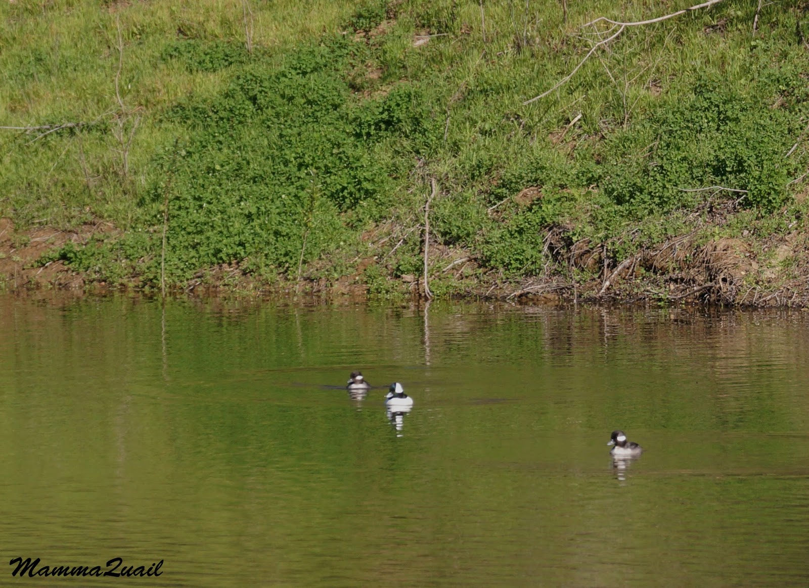
But Mono Lake isn't just a beautiful park. It is also a delicate ecosystem that supports numerous California native plants and wildlife, some are specially adapted to its unique environment. It is also an essential stop for migratory birds who take the eastern Sierra route and a breeding place for the California Gull and other fowl.
 |
| California Gull, October 2011 |
It also provides enchanting views. And while no man-made structure can be seen in this view, it is very much a man-affected scenery. Hauntingly beautiful and painful to know the process that brought it about.
 |
| October 2015 |
Mono Lake is an alkali lake. It has no outlet and the salts carried into it by the Eastern Sierra rivers concentrate in the lake water and create a high-salinity (alkali) water environment. This environment supports a very specialized set of organisms, such as the brine flies that can be seen on the lake shores like vibrant dark ribbons, shimmering along the waterline. These flies are not bothersome at all. They are not interested in people whatsoever and when approached - they scatter about in clouds that make a landing just a few feet away.
 |
| Brine Flies, October 2011 |
The flies' larvae, as well as brine shrimp, are rich bounty for seagulls, ducks and other waterfowl.
 |
| Horned Grebe, 1st fall, October 2011 |
And so are the flies themselves.
 |
| Cowbirds feasting on brine flies, May 2015 |
There are no fish in Mono Lake. The water is too alkali to support fish. Area osprey must get their catch in nearby streams. Perhaps it was a tourist too.
 |
| Osprey, May 2015 |
Carbonate minerals concentrated in the lake's water precipitate to form a special limestone formation called Tufa.
 |
| Tufa formation, January 2015 |
The tufa formations are a great place to perch on for a lookout.
 |
| Mountain Bluebird, male, May 2015 |
And not just for birds.
 |
| Ground Squirrel, May 2015 |
An imaginary eye can see as many tufa shapes as there are in the clouds.
 |
| The "Eye", January 2015 |
There are plenty interesting tufa on shore but the prettiest formations are sticking out of the water. Their reflection in the calm, blue water may have some contributing effect :-)
 |
| "The Sunken Titanic", January 2015 |
But the thing is that, naturally, this tufa should not have been exposed at all. 74 years ago, as part of the natural water system of the area, Mono Lake's water level was higher than the tufa seen today.
 |
| A sign marking the water level in 1963, 22 years after beginning water diversion from the Mono Lake tributaries to the Los Angeles Aqueduct. January 2015 |
Mono Lake is a poignant example for the damage done by human resource exhaustion. Fortunately, it is also a groundbreaking case for conservation efforts and scaling back of resource use.
 |
| 'Mother and Child', January 2015 |
Mono Lake is at the lower part of Mono Basin. Into it would normally collect water coming down the Eastern Sierra of Yosemite. But 'normally' was before the city of Los Angeles claimed rights for the Eastern Sierra water.
 |
| Eastern Sierra snow is a major source of water due for Mono Lake. January 2015 |
Water rights in California is a messy business about which I will not expand here. In short, late 19th century population growth in Los Angeles and the rising demand for water beyond what is naturally available locally. The city officials then led a dirty campaign to acquire the land of Owens Valley (south of Mono Lake) and drain its water via aqueduct to the city of Los Angeles.
 |
| October 2011 |
But the city continued growing and the draining of Owens Valley was not enough. So in 1941 the Eastern Sierra rivers that were leading to Mono Lake were also diverted into the Los Angeles Aqueduct, and the drying of Mono Lake had begun.
 |
| January 2015 |
With its tributaries diverted, Mono Lake water level dropped and its salinity mounted to a point endangering the brine shrimp on which so much of the local ecosystem depends.
 |
| January 2015 |
As water levels continued to drop, land bridges were formed and the former lake islands were connected to the surrounding land. That gave land predators access to bird breeding colonies, which were decimated.
Mono Lake and its ecosystem were on a fast track to death.
 |
| January 2015 |
In 1978 the Mono Lake Committee was founded and the fight for the life of Mono Lake had begun. Through a series of law suits and intense education efforts water diversion was scaled back. On 1994 the court ruled that the water level of 1963 (a sign on the trail marking that spot) was set to be achieved within 20 years from the court ruling.
 |
| Cloud formations. No less beautiful than tufa but transient. October 2011 |
The Los Angeles Department of Water and Power fought the court rulings, both actively and passively (by delaying implementation). Today, 21 years after that court ruling, the sign marking the 1963 water level is still very far from the shoreline.
And the battle rages on.
Human history is full of accounts of wealthy, powerful societies taking control of remote water sources and diverting them to the demise of local communities and ecosystems who depended on that water. The story of the Los Angeles Aqueduct is no different: with financial backing from city bonds and the use of dirty politics and immoral exploitation of early California water rights laws, the city of Los Angeles and the surrounding areas now depend almost entirely on water channeled from hundreds of miles away.
The Los Angeles metropolis is the one of the Nation's largest, second only to New York. Wikipedia cites Mediterranean climate as a primary reason, but the city's growth would have never come about on local water sources. The Los Angeles Cost of Living is much more than housing, education, and and city services. It is also the horrific price paid by the communities and ecosystems who lost their aquatic lines of life in the process, without concent or any real say on the issue.
It is also a dangerous state for Los Angeles to be at - the complete dependence on remote water sources. With the continuing drought and no foreseeable decline in the demand for water there may soon come a time when water restrictions will make Los Angeles a much more difficult place to live.
Past mistakes cannot be undone, but erroneous water policies can be amended. The use of modern technologies can make water recycling and reuse a major source for much of The City's water needs. Also, Los Angeles does have a large source of local water - the Pacific Ocean. With the combination of ocean desalination and water recycling, Los Angeles can become water independent. The City of Angels can give life back to the places its been draining all these years.
It will take public education and will. It will take visionary and moral policy makers. I truly hope it will happen before the catastrophe, inevitable if things would be allowed to continued unchanged, strikes.
 |
| Evidence for past volcanic activity south of Mono Lake: a cinder cones and hills of volcanic ash . January 2011 |
The area surrounding Mono Lake is a low scrub that is home to many animals. Rabbits can often be seen sneaking between the shrubs, and many birds sound their songs from within the thicket. Sometimes though, they do make a bold appearance.
 |
| Sagebrush Sparrow, May 2015 |
Warmer weather invites little lizards to sunbathe on the exposed trail. They quickly scatter before our footsteps.
 |
| Western Fence Lizard, May 2015 |
The receding water made room for new plants to set root.
 |
| Pygmycedar, May 2015 |
Most of the year Mono Lake area is hot. Could be very hot. Last January though, we gorse our noses there. And yes, that white stuff on the ground ... not salt.
 |
| A bit of snow. January, 2015 |
Walking about Mono Lake is truly a timeless experience. No deadline, now set destination. We would meander slowly with or off the trail, stroll along the shoreline, pose for a photo with the tufa, look for wildlife and absorb the serene beauty and calmness of the place.
 |
| October 2011 |
And without noticing, we would be heading back to the gravel parking lot, ready to bade farewell and move on.
On our last visit to Mono Lake, a California gull in full breeding colors was waiting for us on the gravel near the car. It didn't approach us or begged for food or anything. It just stood there, waiting. Waiting for what, I'll never know, because after taking its photo we got into the car and drove off.
 |
| California Gull, breeding adult, May 2015 |
Like many times before, last May we took visitors to see Mono Lake. My mother and her friend, who knew the place only from photos before. They were duly impressed. I was flat to have insisted on going all the way down the Tioga Pass to show them this magical place. But now we were facing the long way back across the mountains to Sonora, where we were to stay the night.
 |
| Mono Lake, January 2015 |
Coming out of Mono Lake, there is some choice as to where to cross the Sierra Nevada range. During summer time, there are more mountain passes to chose from. After our latest visit to Mono Lake we chose to return west via the Sonora Pass (CA 108), which diverts from CA 395 north of Bridgeport. The area east of the big rise has wide, green (at summer) pasture fields. Driving along these fields I noticed large, blue flowers in many clusters in those fields. As I noticed some closer to the road I immediately pulled over: they were irises.
 |
| Rocky Mountain Isis (Iris missouriensis), east of Sonora Pass, May 2015 |
Papa Quail Grumbled. It has been a long day already and he wanted to be back at our hotel in Sonora as quick as possible. One glance at the roadside fence though, and he was quickly out of the car too, camera in hand.
 |
| Yellow-headed Blackbird, east of Sonora Pass, May 2015 |
We remained there in that anonymous place for a few long moments during which I tried to capture the vastness of that iris field and failed miserably (the day light was already waning), so I settled for decent individual flower shots of the iris, and also of the pretty gooseberry bushes that were blooming along the fence.
 |
| Alpine Gooseberry (Ribes lasianthum), east of Sonora Pass, May 2015 |
After getting satisfaction with the yellow-headed blackbirds Papa Quail turned on the other blackbird species that sat on the fence and turned out to be the tricolor variant of the red-winged blackbirds.
If making your way east on CA 120 to see the high Yosemite, make the extra effort and drive all the way out of the park and down to Mono Lake. It will extend your day but a little. It will extend your spirit a lot.