Date: March 16, 2019
Place: The Brockman Property at the Sutter Buttes, Yuba City, California
Length: about 6.5 miles in and out
Level: moderate+
Every time I drive on highway 5 past Colusa I see in on the east: the cluster of toothy, rugged peaks, distinctly separate from the Sierra Nevada range, standing alone and aloof in the middle if the otherwise completely flat California Central Valley. These are the Sutter Buttes.
They look very enticing and I wanted to hike them from the first time I saw them. When I looked at the map, however, I saw that their location wasn't adorned with any park-marking green. On one of my stays in the area I asked about them and was told flatly that all the Sutter Buttes were private property and off limits to the general public. Driving around the buttes confirmed this as all the possible access ways were clearly marked as such.
I was disheartened. Every time I drove by I looked at the buttes wistfully. After several years if yearning I decided to find a way to hike there, even if that meant striking some sort of a deal with the property owners.
As it turned out, this was already done before me. I was happy to find out about the
Middle Mountain Interpretive Hikes (MMIH) organization, that lead guided group hikes in the Sutter Buttes. Four of the land owners have generously opened up their land to these hikes. By signing in advance and paying a fee (all easement fees, the guides are volunteers) one can actually hike the Sutter Buttes! Now it was just a matter of taking the right opportunity.
 |
| The Sutter Buttes, viewed from Gray Lodge Wildlife Area (looking southeast) |
I signed our family for a hike back in 2016 and had to cancel because of an unforeseen conflict. The next opportunity came last November, and I signed us up for a fall hike up the buttes. Alas, a few days before the hike date the horrific Camp Fire broke out, decimating the town of Paradise and neighboring communities, and rendering the air unbreathable not only in Yuba City but many miles south and west, including the Bay Area. Once again the hike was cancelled. We had a lovely weekend in South Lake Tahoe where the air was clean and the town unseasonably peaked with others who escaped the smoke, and hiked
Emerald Bay and a nice mountain loop trail in
Desolation Wilderness.
I was determined not to let two more years pass before booking again a hike at the Sutter Buttes so I left an open weekend in my quick-filling schedule and as soon as the MMIH spring hikes were posted I booked us a hike and crossed my fingers, and my toes.
On the morning of March 16, despite concerns over the elder chika's foot which was bothering her, we came to the Sutter Memorial Museum in Yuba City to meet our guides and the group we were to hike with. Following the check-in and a short introduction we got in the cars and drove in a convoy to the trailhead.
 |
| At the Brockman Canyon Trailhead |
Our hike was the easier choice of the two offered that day, and was to be in a single property area - the Brockman property. The lead guide let us through the property gate to a gravel parking area, and once we were all ready to begin she beaconed us to assemble by the large rocks that dotted the greenery near the dirt road we were on.
It didn't look like there were any wildflowers at first, but as we stepped on the grass I could see there plenty of little popcorn flowers.
 |
| Slender Popcorn Flower, Plagiobothrys tenellus |
Pappa Quail and the elder chika immediately found their subjects of interest - a pair of killdeer calling on the rocks.
 |
| Killdeer |
It took me a few moments to realize that our guide was talking. I rose up from kneeling by the flowers and listened. She gave a more in-depth introduction for the hike and also told us about the Native Californians who used this place for acorn processing and for spiritual awareness. She showed us the acorn grinding mortars that were curved in the rocks and told us there were many of them scattered around the buttes.
That area's Native people are of the Maidu Nation, the southern neighbors of the Yana, whose tragic history I first became aware of through the personal story of Ishi, the last of the wild California native people. The Maidu believe that the spirits of their dead are taken by wildlife up the buttes to their resting place. The Sutter Buttes are therefore a sacred place for them. Common folks, said our guide, are not supposed to go up there, only highly spiritual people. I don't consider myself a very spiritual person but I could certainly feel the majestic air of this place.
 |
| Indian Grinding Rock |
The guide led us back to the dirt road and after a short distance she pointed out to us a small, brown cabin, where naturalist Walt Anderson used to live when he worked on his book Inland Island, about the Sutter Buttes. The cabin used to be higher up the canyon, she told us, but was moved down some time ago.
 |
Walt Anderson's Cabin
|
We passed the farm structures and equipment and soon we were walking alongside the creek. The creek was running nicely, fed by seasonal springs. Above-ground water is seasonal there, we were told. In two-three months everything would dry up.
For now, though, the happy sound of running water filed the air and the sparkling flow dazzled the eyes.
Other sounds filled the air as well: birds were everywhere, sounding their spring songs. Pappa Quail and the elder chika found a bluebird high above them sitting in a mistletoe-burdened oak.
 |
| Western Bluebird |
We crossed the creek a few times, hopping on strategically-placed rocks. As we progressed up the creek the slopes drew nearer and we were heading deeper into Brockman Canyon.
Now that we left the farmed area behind I started seeing more wildflowers. One common sight was the bloom of the blue dicks.
 |
| Blue Dicks, Dichelostemma capitatum |
Another familiar early bloomer was the man-root, a low-spreading vine covered with delicate white flowers.
 |
| California Man-root, Marah fabacea |
We paused a little after the last creek crossing to drink and take a breather before the real ascend begun. The elder chika used the time to sight and photograph a kinglet.
 |
| Ruby-crowned Kinglet |
I, on the other hand, was attracted by the brilliant color of a large, berry-laden toyon.
 |
| Toyon, Heteromeles arbutifolia |
Besides, the vegetation there resembled much that of the East Bay Hills, all the way from oak to poison oak. I felt right at home.
 |
| Bicolor Lupine, Lupinus bicolor |
After the final creek crossing we started ascending for real. The trail all the way was a dirt road passable by motor vehicles so the grade wasn't very steep. Still, it was a steady ascent with quite a few switch-backs. As we got higher, the view opened up.
Looking back we were able to appreciate how high we climbed so quickly. the valley appeared quite a distance below. We were in a different world now.
Whenever I managed to tear my gaze away from the magnificent view of the butte peaks it was to look down at the little, colorful wildflowers.
 |
| Bird's Eyes, Gilia tricolor |
The Sutter Buttes are considered to be the smallest mountain range in the world. This means that it was completely separate and very local forces that drove the andesite up to create the rise of the mountains. Simultaneous with the rise, erosion forces took effect in shaping the buttes, giving them the sharp, toothy appearance.
Everywhere around us the hard, angular rocks contrasted with the rounded slopes of grass-covered topsoil. It was a beautiful, wild scene.
The sheer rocks are home to white-throated swift and Pappa Quail managed to get one on camera, which is quite an achievement, considering how swift are the swift in flight.
 |
| White-throated Swift |
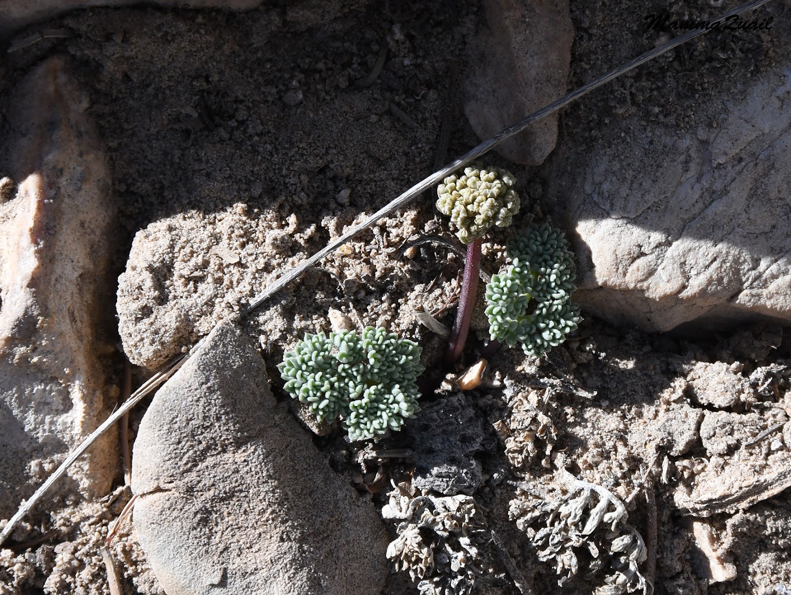
I settled for less speedy subjects to appreciate. At higher elevations there was much more bloom and of many more species. While there were no 'carpets' like those seen in places like the Carrizo Plain National Monument, there was still an abundance of colorful wildflowers. I particularly liked the magnificent baby blue eyes that lined our trail in light , newborn blue.
 |
| Baby Blue Eyes, Nemophila menziesii |
Another flower that attracted my attention was the California saxifrage, a plant I might not have noticed if not for the special attention my botanist friend had given it on her visit in California last spring.
 |
California Saxifrage, Micranthes californica
|
Then our guide stopped and pointed at the northern horizon. Mount Shasta, she said.
The air was dirty and visibility awful. Straining my eyes I could barely see the outline of a ghostly white bump on the horizon.
 |
| View north |
I asked Pappa Quail to photograph that spot with high zoom. At home, after manipulating the levels and color balance the magnificent snow-white top of Mount Shasta popped through the dirty air.
 |
| Mount Shasta |
We continued ascending up the trail. Looking further east a smaller white bump on the horizon became visible - Lassen Peak came into view. Our guide pointed out to us a stock pond below us, nestled between the eastern slopes. The pond, one of three, was in the largest single property in the buttes. The property owner, said our guide, is one of the four who opened his land to the interpretive hikes and sometimes he guides them as well. She said that going with him is an exciting experience and I made a note to sign up for one of these hikes next time.
As with Shasta, I prompted Pappa Quail to get a zoomed image of the snowy peak and later cleared up the image to reveal that beautiful volcanic complex.
 |
| Lassen Volcanic National Park |
In fact, Pappa Quail used his powerful birding zoom on many other things besides birds, such as this beautifully balanced rock on the ridge to our south. A far gliding vulture was caught in the photo just before disappearing behind the rock.
Eventually the guides took us off the trail and into a pretty oak knoll where we sat down for lunch and a restful break.
It was a nice warm day and our guides suggested to check the rocks for snakes before sitting down. I did so, and after I was satisfied there were no snakes nearby I sat by a cluster of rocks. Pappa Quail looked over me and spotted a lizard in the crack just behind where I was sitting. The lizard seemed curious, but not brave enough to climb out of its rock crack.
Although I didn't notice them at the time, acorn woodpecker were present and Pappa Quail and the elder chika took notice. They weren't too close but I love the photos that show the woodpecker's bright red crown gleaming in the sunlight.
 |
| Acorn Woodpecker |
After a good restful break the guides presented us withe a choice to extend our ridge exploration to the nearby western butte. Two of the back up guides were to stay at the knoll and the elder chika, whose foot was bothering her, chose to stay behind. The younger chika immediately decided she would stay too and so Pappa Quail volunteered to stay with them while I joined the rest of the group to explore more of the Brockman Ridge area.
 |
| West Butte |
A few decades ago one of the Sutter Buttes property owners thought it would be a good idea to release wild pigs in the area for hunting purposes. The pigs became very successful settlers there, and cause significant damage to the local ecology. All the plowed earth seen at the bottom of the below photo is pig diggings. And there were vast areas of that kind of damage. Pig hunting is done in the buttes, but it looks like that population is there to stay.
 |
| View Northwest from Brockman Ridge |
At the valley floor below I saw a simmering strip of water.That, I was told, was the Sacramento River Bypass. The river itself is the thin line of water, barely visible behind the wide bypass.
 |
| The Sacramento River Bypass |
This winter California is officially out of the drought period. The reservoirs are full and the bypass is overflowing. The Sierra Nevada has the thickest snow pack seen in many years and there's more precipitation in the forecast. South Cal is experiencing an amazing superbloom which I am thoroughly missing this year. I can only hope that the wildflower show will be as magnificent here in North Cal when it peaks next month.
 |
| The Sacramento River Bypass |
As we progressed westward along the ridge we got a wider view of the South Butte with the double antennae on its top. The north facing slopes of the butte were covered by a thick oak forest. Our guide said that although the buttes appear arid when viewed from afar, some of the interior butte hikes are almost completely shaded.
 |
South Butte
|
We walked at a leisurely pace and had ample time to imbibe in the beautiful sights. The rugged rocks had lives of their own - many of them were covered in colorful lichen.
The base of these rocks sheltered little flowering plants from the aggressive grazing of cattle and the tilling hooves of pigs.
 |
| Slender tropidocarpum, Tropidocarpum gracile |
Probably the most common wildflower up there that day was the fiddle neck. One (or more) of the numerous species of that genus all of which look the same to me. They bloom in a very pretty orange that is no second in beauty to the California poppy and can too show in carpets of superbloom.
There was no superbloom display on the buttes that day, however. Still, the lovely wildflowers were plentiful and a pleasing sight.
 |
| Fiddleneck, Amsinckia sp. |
We reached the end of the trail and turned back. One of the guides led the way along the trail while the head guide brought up the rear. I lingered with her for a few minutes, asking questions and being slow of letting go of this beautiful place. It was time to get back, however. I could imagine the chikas and Pappa Quail getting restless where they had remained.
A snow-capped peak poked the horizon between two of the buttes. That peak belongs to the Sierra Nevada, but I do not know which one it is.
Much of the buttes area is used for cattle grazing. Black angus cows and calves roamed along the ridge and moots them scattered away as we walked along the trail, seeing us humans as we were: a threat to their safety.
Near the trail was a shallow pail with a salt rock and two young bulls were licking it eagerly. They too moved away as we returned down the trail, but didn't stray much, just waited for us to move on.
 |
| Bull&Bull |
It was past mid-day now and the high sun illuminated better the coastal range. Although much lower in elevation than the Sierra Nevada, the coastal range does get snow too, and this year it got even more than usual. While the lower elevation snow we've seen
earlier this winter had already melted, there was much more still on Snow Mountain, and north of there at the Trinity Alps, across the valley from Mount Shasta.
 |
| The Coastal Range and Snow Mountain |
Our guides led us to another pretty knoll where all the rocks were covered in little cushions of soft, red and green moss. They had us sit there in silence and contemplate Nature while the two guides left behind came down with Pappa Quail and the chikas and rejoined us.
Our guide spotted a few Barbados sheep grazing on the northern slopes of South Butte. These sheep were also a feral population. They were too distant to get any good image of.
 |
| Moss Rock |
Apparently Pappa quail and the chikas weren't idle while waiting for us. The elder chika spotted some cedar waxwings.
 |
| Cedar Waxwing |
They also watched a red-tailed hawk doing aerobatic maneuvers. The rest of the time the chikas simply drove each other crazy.
 |
| Red-tailed Hawk |
It was time to start downhill on our way back. For my elder chika it wasn't a moment too soon - her foot was hurting a lot. She was using hiking poles and chugged along bravely. The younger chika walked alongside me and informed me that she would like to hike the double transect trail which crosses the entire Sutter Buttes and loops back. I wondered aloud how would that fit with her lack of enthusiasm to go on the extended walk but she simply shrugged. I let the subject drop and focused on less complicated issues, such as the beauty of floral patches along the trail.
Our hike wasn't a loop - we were coming down the same trail we walked up on. Still, things can look different when seen from a different angler even a different lighting.
The poppies, which were half closed when we saw them on our way up were fully open now. There weren't carpets of them, but there were enough to uplift the spirit.
 |
| California Poppy, Eschscholzia californica |
I also had a second chance to photograph one very interesting plant that we saw on our way up - the California Dutchman Pipevine that has a very interesting looking flower.
 |
| California Pipevine, Aristolochia californica |
We made it down to the low area fairly quickly and soon we were walking along the creek again, this time downstream.
Our guides took care to gather the group at every creek crossing or gate, but this time we didn't stop for any break. I had my own short stops to take a closer look at things and photograph them, like this pretty bouquet of miner's lettuce.
 |
| Miner's Lettuce, Clayton perfoliata |
The chikas found a bovine skull which reminded me the inspiration of Georgia O'Keeffe. I think she would have liked this place.
The final mile of the hike went as quickly as a breeze. Once again at the foot of the buttes and the grazing pasture dotted with rocks. There were more birds active now, many of them claiming territory atop one large rock or another.
 |
| Brewer's Blackbird |
There was still plenty of daylight left so we decided to go and see some more birds at the Gray Lodge Wildlife Area (where the first photo of this post was taken). We said goodby to the guides and to everyone else, who were going to drive back to Yuba City, and turned our car in the other direction.
 |
| Sparrow |
I looked at the Sutter Buttes with satisfaction. Finally we made it there, and we had a lovely hike up these mysterious and almost inaccessible mountains. There is still much more to see there and I sure hope to go hiking there again, on different trails. It is through the collaboration of the
Middle Mountain Interpretive Hikes and the generous land owners who allow access to their property that make possible to explore this most fascinating landmark. Many thanks to Alison, Joaquin, Julie, and Paul, who led us on this wonderful hike!
Here's the link to
Middle Mountain Interpretive Hikes website.