Monday, August 29, 2016

Taking A New Direction at Hope Valley

Carson River

Date: August 11, 2016
Place: Hope Valley Wildlife Area, South Lake Tahoe, California
Coordinates: 38.778331, -119.924538 
Length: about two miles in and out
Level: easy

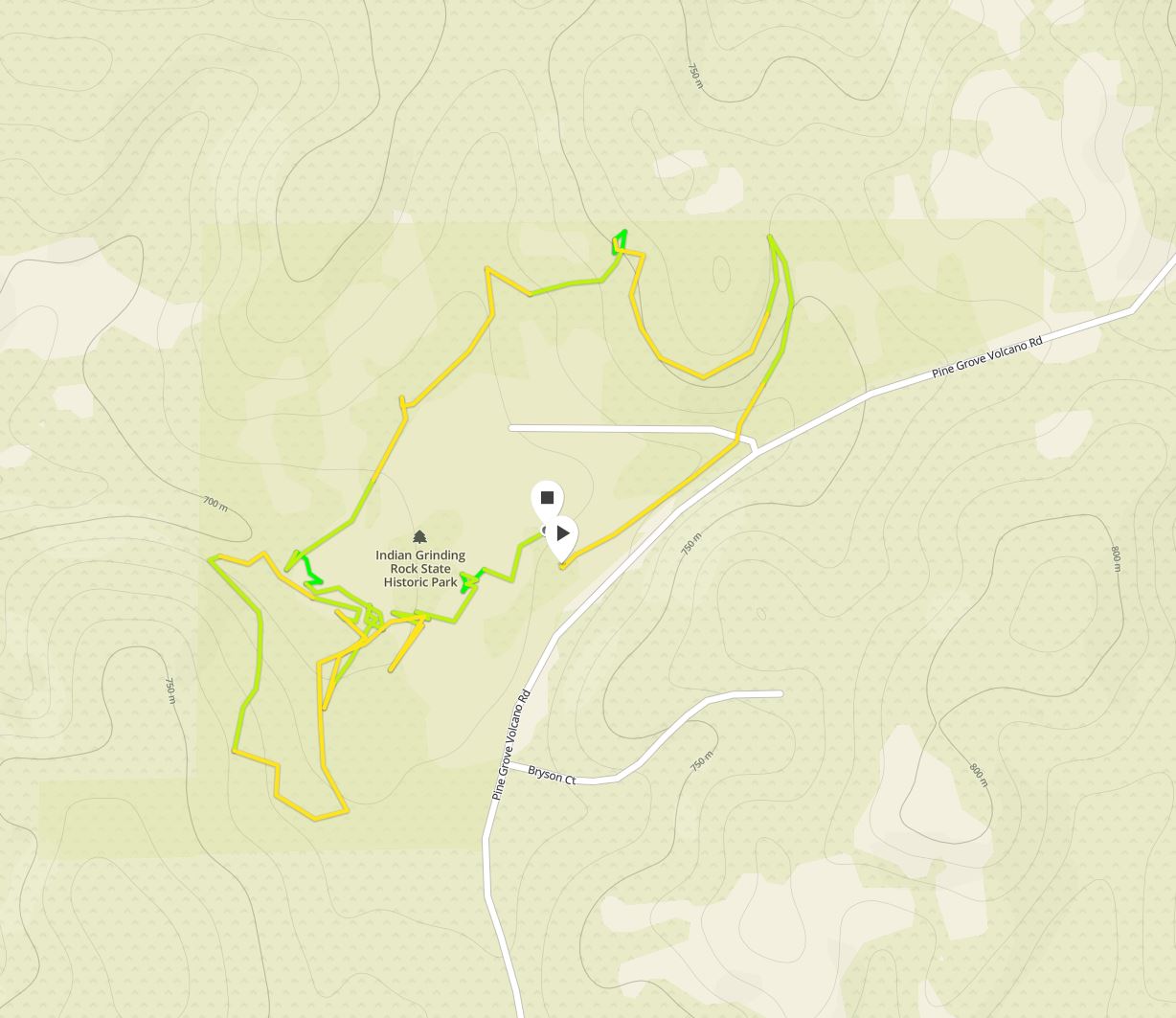
This year we went on our summer road trip with very little planning. I had a semi-solid plan for the first three days to explore the Gold Country, but only a vague idea of where to go next. Then Papa Quail came up with the idea of visiting the Ancient Bristlecone Pine Forest, because it has been a while since our last visit there, and it rained then. I immediately went with his idea - there is much to see in the Eastern Sierra on the way to and around the White Mountains where the ancient trees were. So after visiting the Calaveras Big Trees and the Indian Grinding Rock State Parks, and rafting down the American River, it was time to drive east across the Sierra Nevada.
At first I thought to stop at South Lake Tahoe and hike Emerald Bay State Park, but a couple of big traffic jams caused by road construction, plus a huge crowd of vacationeers and not a single parking spot had caused us to give up on that hike before even setting a foot outside of the car. In fact, we didn't even wish to stay in town for lunch. So we purchased some supplies and fled south on CA-89 to Hope Valley Wildlife Area.
I had discovered Hope Valley a couple of years back when I looked for a place to snow-shoe while my chikas were at ski school. Since then I visited that place a few more times, during summer, with the family. I knew it would be a perfect place to stop for a picnic lunch and for a short hike to break our long drive (we had planned to get all the way to Bishop that night).
On all our previous visits we hiked on the old paved trail that crosses the Carson River and extends to the mountains on the north. This time we stayed on the southern river bank and hiked along the water (and some of us in it).
Carson River, a view east from the bridge
A year ago when we were there with our friends the children spotted a muskrat in the water. She was busy collecting nesting material and carrying it to her burrow, the opening of which was under water. This photo of the muskrat is the only one of that visit I post here. All other photos are from our latest visit there of August 2016.
Muskrat, September 2015
We had the perfect hike that day. The weather was perfect: warm, clear, and calm. We strolled lazily along the river bank, appreciating the beautiful mountain scene and the sound of the slow-moving river.

There are a couple of fishing docks on the south bank, connected by a narrow, paved path with benches. The chikas looked for fish (they found a few dead ones, I guess the 'catch and release' approach doesn't always work for the fish). I focused on the plants and the views.
Pine (Pinus sp.)
I wasn't expecting any rigorous hike there, and indeed it wasn't. We walked very slow, stopping often to explore. Papa Quail's nieces were taking in the sights of the Sierra Nevada - they were very young when they'd been in these mountains before and they enjoyed it like it was their first time.

Very early on we lost Papa Quail. He went after a bird he'd spotted and soon vanished around the curve. My chikas, on the other hand, took their shoes and pants off and went into the creek to explore it up close. I told them they'd have to come back to fetch their things but Grandma Quail picked up their clothing articles and followed them along the bank.

The only big fish we saw there were dead, but there were many living fish - very small fish in good size schools.
Back to School day
Then I heard an excited cry: "Snake! Snake!"
I hurried to where Papa Quail's nieces were and saw them pointing at a small striped snake that was moving quickly on the muddy creek bank. I gave them a little talk about garter snakes and that they shouldn't worry about them. We saw another one later on the hike too. It was a nice, warm day - perfect for snakes.
Mountain Garter Snake
Mountain wildflower season is on until later in summer. There wasn't big bloom spectacle there, but there were numerous little wildflowers hidden among and under the shrubs. Many of them were of the aster family which aren't easy for me to identify at the species level, but I did try to get close!
Arnica (Arnica sp.)
The Carson River flows slow and shallow at Hope Valley and the chikas took advantage of it and were wading upstream in the water. It was very tempting to follow them in but there were flowers blooming so for the time I remained outside on (almost) dry land.
I did have to run ahead of my chikas in order to get a nice shot of the beautiful reflection in the creek before they stirred up the water.
Carson River
Under the surface strands of algae billowed in the gentle stream. It looked very pretty and lush, like an tiny underwater forest.
Cladophora Alga
And on the river bank some goldenrod plants in full bloom added bright colors to the general greenery of the area. At the slow speed we were walking I had the opportunity to appreciate in person every blossom I saw, pretty much.
West Coast Canada Goldenrod (Solidago elongata) 
Meanwhile Papa Quail had his own route of discovery further upstream. Later he told me that he was following a sneaky sandpiper along the river bank but his best bird photos of the day weren't of that sandpiper.
Song Sparrow, juvenile
An osprey was circling the sky in the distance. Every now and then this fisher bird of prey would dive into the river.
Osprey
While we didn't see the osprey catch anything, Papa Quail did get to catch it as it shook the water off its feathers after a dive, just like a puppy :-)
Osprey
I made a different discovery on ground level: the river was blocked by a dam of tightly interlaced willow branches. A beaver's work, no doubt.
A Beaver Dam
Behind the dam, as one might expect, the river widened into a large, breast-deep pool. How do I know it was breast-deep? Well, I saw pink flowers on the opposite shore and my zoom wasn't strong enough to take a photo from were I stood on dry land. That was a good enough reason to shed some clothing articles and wade across.

Wasn't it worth it?
It was, even if there was no flower on the other side. The water was surprisingly mild in temperature and the dip was very refreshing. While I was in the water Papa Quail returned from his solo hike and took some shots of the flowers with his high zoom lens, without setting a single foot in the water. Still, my close-up photos are better.
Oregon Checker Mallow (Sidalcea oregano ssp. spicata)
The small pebble beach by the beaver-dammed lake was dotted with little lupine plants, so well camouflaged that only their blue bloom stopped prevented me form stepping on them.
Brewer's Lupine (Lupinus breweri)

My elder chika, always in search of critters, has found the molt of dragonfly nymph. These are little Nature treasures that are always fun to discover. This small, discarded skin encompasses the big story of the dragonfly's fascinating life cycle.
The Shodden Skin of A Dragonfly Nymph

While pines dominated the tree scene in Hope Valley, it was primarily willows that grew near the river. Not quite trees, but thick, round shrubs. In winter they are bare and show their rust-red barks. The willow flexible twigs were used by the Native Californian women for basket weaving and the willow bark was used as medicine.
Willow (Salix sp.)
Usually when I see yellow flowers of the Brassicaceae (Crucifer) family along the coast I disregard them as invasive species. In the Sierra, however, I do not make this assumption.
Even if they don't look fancy, these little crucifers can be quite adorable.
Draba sp. 
We lingered by the beaver-dam pond for a while. Papa Quail eventually got bored and started back toward the parking lot, leaving the rest of us to dry up and get dressed. He had some nice photographs of the blackbirds that hopped around us, possibly in hope that we'd leave them some crumbs (which we wouldn't, even if we had any food with us. Feeding human food to wildlife is very bad for them.)
Brewer's Blackbird, female
Brewer's blackbird is a very common species, and they don't get featured often because of that. Still, they are pretty birds and they seem even prettier in the mountains. Everything looks prettier in the mountains.
Brewer's Blackbird, male
We took our time but eventually we were all dressed and ready to go. We said goodbye to the calm beaver pond and started making our way back along the water.

Papa Quail must have been waiting for a while because soon I got a phone call from him, inquiring when we expect to be back. Feeling a bit rushed I took off from the river and led everyone on a shortcut route through the meadow in the direction of the parking lot.

Away from the river the meadow was already dry and brown. There were a few pine trees and some awesome boulders that the chikas and their cousins enjoyed climbing on. We were slow in getting back to the car and when we did, there was still no sign of Papa Quail there. I called him and found out that he was waiting for us by the river.
Yellow-Rumped Warbler
It was late in the afternoon when we were all finally reconnected and ready to go. We had spent, almost without noticing, over three hours at Hope Valley. Three hours of leisure and Nature fun, of exploration and relaxation, and we could have easily stayed more. Like other on-the-way Nature jewels we had found, we'll frequent Hope Valley in the future as well. Maybe when it's wearing white once again :-)


Many thanks to members of the California Native Plants Society for their help in identifying plants! 


Sunday, August 21, 2016

Here Forever: Indian Grinding Rock State Park


Date: August 9, 2016
Place: Indian Grinding Rock State Park
Coordinates: 38.425029, -120.641233
Length: 2.5 miles both North and South Loops.
Level: easy

The Sierra Foothills area known today as The Gold Country used to be the California Miwok nation's country. This nation was distant enough to be largely spared by the Spanish missionaries and while ranch settlers gnawed at the Miwok land and occasionally 'recruited' Miwok farm workers, they were mostly left alone. But then gold was discovered at the Sutter Mill and everything changed. Speculators, miners, settlers and fortune-seekers flooded California and within the short period known as The Gold Rush California was completely transformed, both ethnically and physically. For the Miwok that change meant a massive death and displacement, and the near erasure of their culture. What has survived is now being preserved and taught to the new generation of Californians, both native and immigrant-descent.
Indian Grinding Rock State Historic Park is one of the places where the Miwok ethnic preservation takes place, as well as a gathering place for the tribe's people that maintain their MiWok identity.
We arrived at Indian Grinding Rock on our way from Murphys to Placerville. On the previous day we hiked at Calaveras Big Trees State Park where we saw some of the damage done to Nature by the gold rush settlers. At Indian Grinding Rock we were to see more of the damage done to the area's native people.
A display of MiWok artifacts at the park's visitor center
At the visitor center I was told that they had run out of maps. I therefore listened carefully to the ranger as he described the trails to me. Indian Grinding Rock is a small park with only two short loop trails at a combined length of under 2.5 miles.
Our hike as captured by Papa Quail's GPS
The North Loop begins in a thin pine/madrone wood but soon crosses the park road and a small dry creek. There, under the bridge, grows a patch of milkweed. It was way past their bloom season but the puffy fruits are quite interesting (and very, very toxic).
Milkweed fiber was used by the Miwok to make ropes.
Snowy Milkweed (Asclepias speciosa)
Not only milkweed was past its bloom, nearly every plant there was. There were a few late bloomers though, most of them very small and close to the ground.
American Bird's Foot (Acmispon americanus)
The few flowers that were still blooming were an attraction for butterflies. There were quite a few of them flying around. Some even landed for a few seconds, long enough to get photographed. This butterfly that posed for Papa quail, is feeding on one of three species of star thistle, all of them invasive, non-native species.
Common Buckeye on Star Thistle
After Papa Quail walked ahead the butterfly took off and landed somewhere in the layer of fallen leaves. I needed the sharp eyes of Papa Quail's niece to point it out to me, it was so well camouflaged, eye spots and all.
Common Buckeye
The buckeye I know from many other places in California, including the Bay Area. There were others there, however, which I didn't recognize and as of yet, unsuccessful in identifying. The one thing in common to all of them was that they were pulling off a disappearance whenever they landed on the ground, perfectly blending in with the dry vegetation.

The foothills forest is a mixture of medium size pines and broadleaf trees, of which the most dominant were the oaks, but the most outstanding were the madrones. For a good stretch of the trail we walked through a wide madrone tunnel and the sunlight filtered through, immuminating everything in pinkish-red light.

The madrone, as its relative the manzanita, has very thin bark that peels off annually, revealing a greenish-red new bark underneath. This bark is so thin that it allows light through, enabling the tree to stem-photosynthesize.

But the madrone is too smooth for the cicada. As soon as we got to area with more pines we found the empty skins of cicada nymphs left attached to the tree bark when the mature insect broke out and took to the air and to deafening park visitors.
My elder chika started collecting them off the tree. She found immense pleasure in arranging them in my hair.

We turned the curve and were walking on the south-facing hillside. Almost immediately the madrones were replaced by their hardier relatives, the manzanita bushes. The manzanita must have it really nice there, south slope and all, because they looked pretty big and happy.

And most of them were bearing fruit, too. Manzanita fruit are edible and I tasted some. They were quite dry, though, and not very appealing. I guess we came a bit too late in the season. The Miwok used to eat them and make drinks from them.
Manzanita fruit
Below the manzanita were mats of mountain misery - another hardy shrub. Good thing that the trail was well maintained and we didn't have to rub against them.
Mountain Misery (Chamaebatia foliolosa)
After the manzanita path we found ourselves walking in a clearing dotted with young pine trees. At that point we found out that we didn't have much water left. Most of it, in fact, was still in the backpack I carried. It was a hot day and I was pleased that my daughters were drinking a lot.

Almost too soon we came out of the vegetation and into a much larger clearing with several old oaks. Below the pass was the reconstructed Miwok village of Chaw'se.
We spent some time resting in the village, admiring the traditional tree bark houses and the woodpeckers in the trees, but mostly removing thorny seeds that hitch-hiked on our clothing.
Chow's MiWok Village
Next to the houses was a planted patch of milkweed. It is still being used for making ropes in tribal workshops and gatherings, It is also a favorite plant for monarch butterflies to lay their eggs on: the toxic sap of the milkweed renders the caterpillars toxic too - a strategy to deter birds.
Monarch Butterfly hovering over a patch of Milkweed
A small, grayish bird was creeping up one of the large oak trees. Papa Quail was excited: his previous photos of a brown creeper weren't good enough. Finally he had the opportunity to get a nice shot of the bird (and of the daddy-longlegs it was eating).
Brown Creeper
After cleaning our clothes from the seeds we continued meandering through the reconstructed village until we arrived at the round house. This is a reconstruction of a community center that the village used to have in the old days. The current building serves the exact same function: a place for meetings, education and ceremonies.

The building was closed when we were there. Near it were a few other families that were looking around, and above us the throaty cries of an acorn woodpecker were heard. This is the loudest inhabitant of the majestic oak grove at Chaw'se.
Add captionAcorn Woodpecker
We had some debate whether we should go back or continue on the South Loop. The concern was mainly the water we had left, which wasn't much. Eventually we decided to go on.
The South Loop Trail delves right away into a darker forest of mainly pines and other conifers. We crossed a tiny creek that still had some moisture in it, and there we saw another cute butterfly: the California Sister.
California Sister Butterfly
The trail was the South Loop but we were hiking a north-facing hillside. The forest was much thicker and shadier. In the heat of that day this was a considerable blessing.

The South Loop is quite short. The youth were all ready to finish the hike and we were going at a much faster pace. I stooped occasionally to photograph one thing or another, but mostly I was just walking along, or swatting off my daughter's hands as she tried to add more cicada shodden skins onto my head.
A spider's hammock web. 
At the end of the loop we emerged at the park's campground. At last we found a functioning water tap. We filled our bottles and drank as little as we needed: the water tasted awful.
Completing the South Loop we were once again at Chaw'se. This time we walked directly to the park's centerpiece: the large grinding rock.
The grinding rock was the place were the Miwok pounded the acorns they gathered in the fall. This wasn't only a place of work but also a place of socializing while working. Acorn pounding was a whole tribe activity and a perfect opportunity for people of different villages and family groups to reconnect, exchange information, play together and relax, and possibly creating new core families :-)
But most important: to prepare enough acorn meal for the upcoming winter. The acorn meal hat to be leached in fresh water to wash all the tannins away before it could be consumed. Then the meal was dried and stored.
This grinding rocks are found throughout California where the Native Californians had acorns as their staple food, but the one at Indian Grinding Rock SP is no doubt the most impressive one available for public view.
The Grinding Rock
That was our last stop in the park. We moved back toward the visitor center, saying goodby to the bark houses and the ground squirrel that climbed one of them after it figured it won't get any food from us.
California Ground Squirrel
Indian Grinding Rock State Park is a small park with a small trail system, but with important legacy and on going cultural and educational value. People who wish to know California and its original people are more than encouraged to visit there.