
 |
| Briones Regional Park |
Date: April 29, 2021
Place: Briones Regional Park, Martinez, California
Coordinates: 37.95670, -122.12311
Place: Briones Regional Park, Martinez, California
Coordinates: 37.95670, -122.12311
Length: 8.5 miles
Level: moderate
The May hike of the 4H Hiking Project that I lead was planned for Briones Regional Park. I've hiked there with the group before and I wanted to take them on a different trail. I invited a friend of mine to join me for a prep hike a couple of weeks before hand,. She was happy to join me, but needed to finish the hike before 1:00 pm. Having planned this hike to be no more than 5 miles, I assured her that we would be done on time.
My plan was to hike a north loop from the Alhambra staging area. My friend and I met at the parking lot at 9:00 and we started out along the Alhambra Creek which, as I expected, was completely dry.

The morning shadows were long still, and the air was on the cooler side. It was promising to be a great weather day.
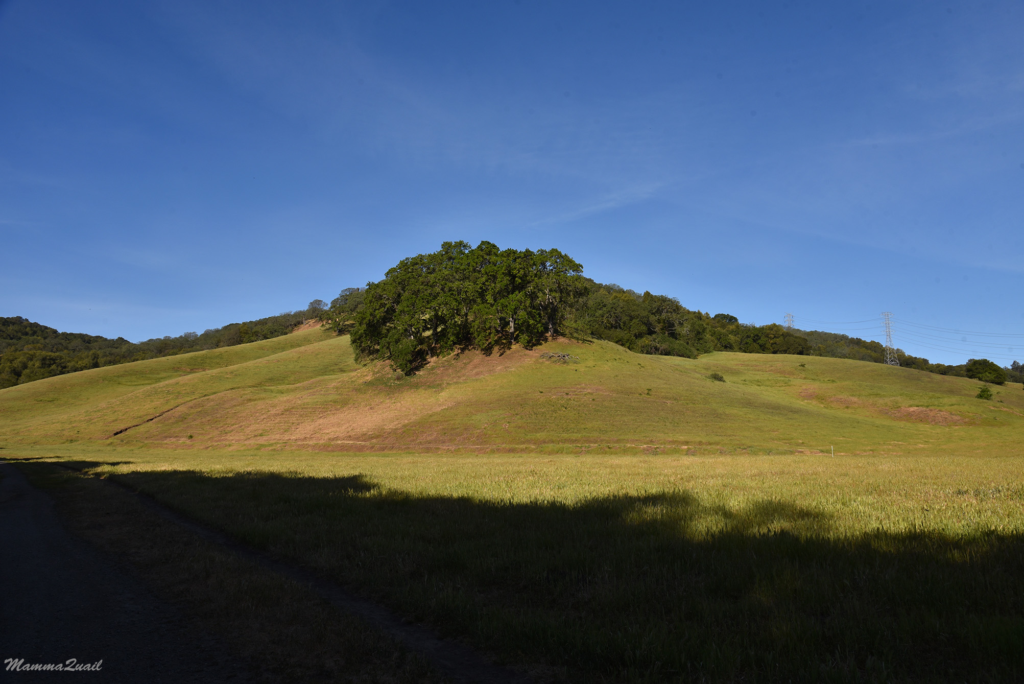
We hiked up along the Alhambra Creek trail, ascending through the forest at a mild grade slope.
After a mile or so of brisk walk along the creek the trail turned sharply northward and the slope steepened considerably.
 |
| Alhambra Creek Trail |
It was sunnier now, and the temperature increased. There were also more wildflowers along that part of the trail. My friend, already familiar with my habit of stopping at every spot of color, waited patiently as I photographed the flowers.
 |
| Silver Bush Lupine, Lupinus albifrons |
One more curve to the west and we were out of the forest and up at a high, sun-washed plateau. The trail leveled and we continued at a fast pace. There wasn't much bloom up the hill. The whole area seemed like cattle grazing pasture.

Of the few flowers that did bloom up at the open pasture the dominant was the morning glory, and it was blooming in full glory too. There were were lots of them along the trail.
 |
| Hill Morning Glory, Calystegia subacaulis |
I looked back and found that the view north had opened up - I could look down at Suisan Bay and across the river estuary.
 |
| View North |
I don't remember what my friend and I were talking about at the time but it must have been very engaging, otherwise I cannot explain how did I miss turning to the north loop. Somehow we continued straight on and continued down in the direction of southwest.

I noticed the familiar figure of a great blue heron way down in the pasture. The heron was to far for my camera to get a clear image but I like the looks of it, alone and aloof in the grass, ambushing anything that might present itself to be plucked and eaten by the big bird.
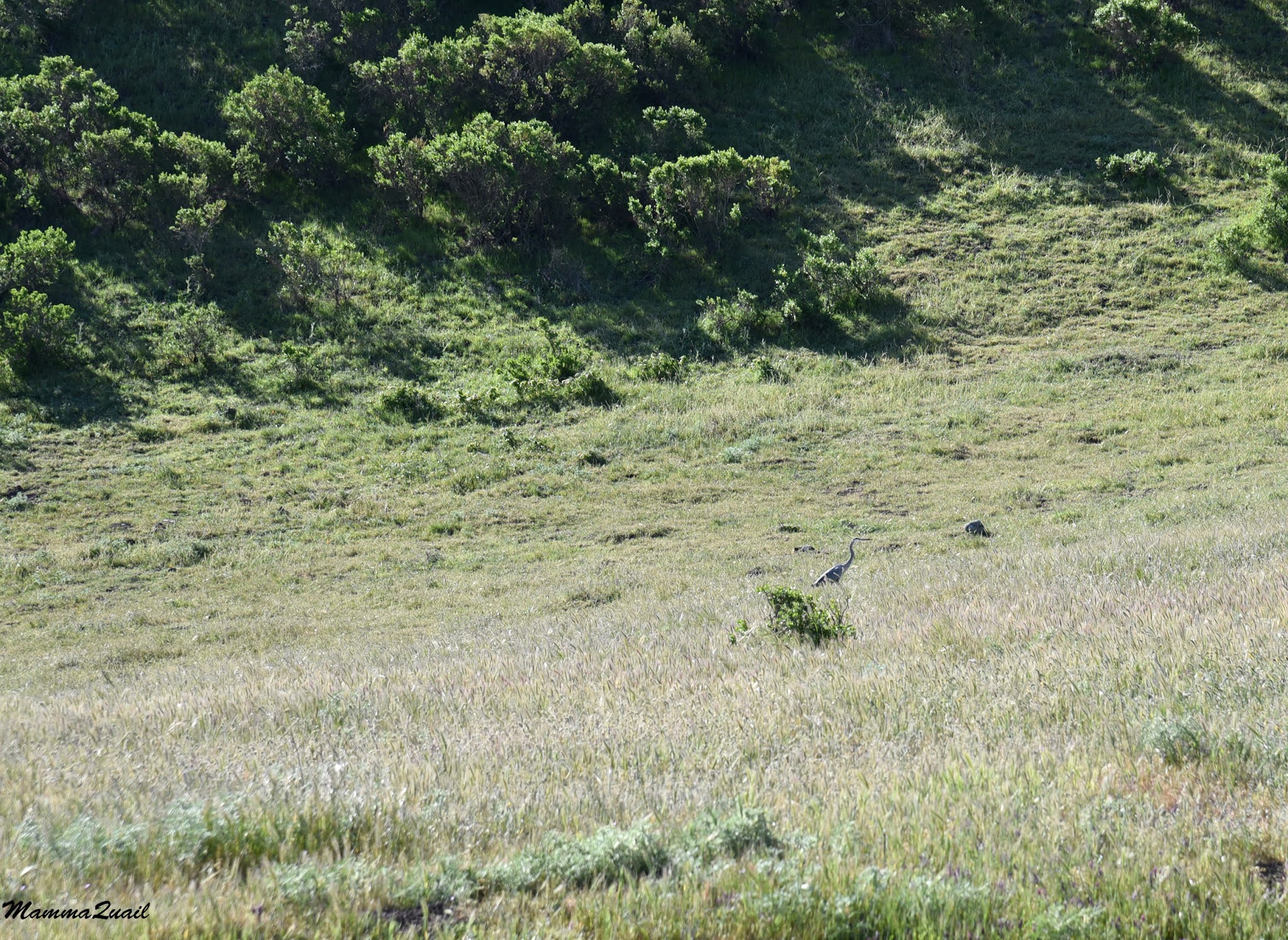 |
| Great Blue Heron |
Turning southeast we were once again under the tree shade, now welcomed because the day had grown hot.
 |
| Silver Bush Lupine, Lupinus albifrons |
The trail weaved through open hillside and small oak knolls. There was also much more up and down undulation that kept us working good sweat.
When we came upon a sign pointing to Briones Peak I pulled out the map to see if we'd have time to go there. It was then when I realized that we had strayed far from my originally planned route. So no, we didn't have time to go up Briones Peak. We also didn't have time to stop for a lunch break. Not if we wanted to get back to the parking lot by 1:00.

Our leisurely attitude was shifted to alert briskness. We were too far along to turn around and head back so we darted down the trail to the nearest round-loop trail intersection. If my friend was upset, she was very good in hiding it. She didn't mind me pausing briefly to photograph a pretty swallowtail butterfly that was visiting the thistles.
 |
| Swallowtail Butterfly |
In the East Bay it is possible to tell compass directions in very good approximation from the pattern of vegetation. The forested slope would almost always be the northwest-facing slope. If course it is always better to use a compass or a GPS device it you wish for an accurate localization.

More than two thirds into our longer-than-planned loop we were walking on the south-facing slope which was very much exposed to the sun. The lizards loved it- we saw many of them sunning by the trailside.

We however. were working quite a sweat. Especially since there were still many elevation changes that we were going through at a fast pace. On the other hand, there were many more wildflowers along the trail to look at.
 |
| Owl's Clover, Castilleja exserta |
One of the most common spring wildflowers in the Bay Area is the blue-eyes grass. This year however, I saw relatively few of them. This plant is a geophyte, which means it has a bulb underground. I wonder if the record low precipitation caused many of the bulbs to remain dormant that spring.
 |
| Blue Eyed Grass, Sisyrinchium bellum |
 |
| Mount Diablo |
We continued north at a quick pace, pausing only to sip water and for brief looks at wildflowers. There weren't many of them so we were making good progress. I had my lunch in my backpack still. which I knew I wouldn't touch until we got to the parking lot. I was carrying it for nothing.
 |
| Ithuriel's Spear, Triteleia laxa |
The trail dipped into a narrow valley between two steep hills. Protected for more hours from direct sun the valley was still mostly green and had shade-loving wildflowers blooming under the oak trees. It was high noon when we walked through so we got the full sunlight exposure, and enjoyed the pretty greenery all around.
 |
| Starry False Lily of the Valley, Maianthemum stellatum |
Going u the other side and out into the open, the scenery was once again that of the yellow-brown drying grass slopes capped with dark live oak knolls. The typical East Bay summer view.

There were poppies in bloom as well, but a fraction of their numbers in previous years. None of those impressive orange carpets were were spoiled after wetter winters.
 |
| California Poppy, Eschscholzia californica |
It was noon time and we were hungry, but we didn't stop for lunch. I don't enjoy as much hikes that are too rushed but there was a good side of the navigation mistake I made that extended this hike. It worked toward increasing my fitness before going on the Mount Shasta expedition later in June.


We arrived at the Alhambra Staging Area not too long after 1:00 and my friend hopped into her car and dashed out of the parking lot in a cloud of dust. I opened the back door of my car and sat there to eat my lunch, which I carried throughout the hike. It was a good trail and I was glad to have hiked it. I wish I didn't need to rush it though.
When I returned to Briones with the 4H Hiking Project a couple of weeks later it was much hotter and drier. We did hike the shorter, 5-miles northern loop, the one I had originally planned.
it's a beautiful trail... Pity you had to rush through it
ReplyDeleteI guess I'll have to walk it again with more time to spare :-)
Delete