 |
| Sierra Azul Open Space Preserve |
Date: June 3, 2021
Place: Sierra Azul Open Space Preserve, Los Gatos, California
Coordinates: 37.200444, -121.980176
Length: 11 miles
Level: strenuous
Place: Sierra Azul Open Space Preserve, Los Gatos, California
Coordinates: 37.200444, -121.980176
Length: 11 miles
Level: strenuous
I felt vigorous and fit after backpacking the Ohlone Wilderness Trail. In less than a month I was scheduled to go on the Mount Shasta expedition and I felt almost ready for it. I wanted to maintain my fitness and even up it a little, and so I scheduled another strenuous hike and invited my friend to join me. The destination this time was the Sierra Azul Open Space Preserve, and as tempting as it was, Mount Umunhum was not on the agenda because I wanted a loop trail. Besides, this was a great opportunity to see more of the Sierra Azul Open Space Preserve, which was something I've been meaning to do for a while.
I picked up my friend in the morning and we drove to the Limekiln Trailhead at the side of the Lexington Reservoir in Los Gatos.
We parked in a small pullout area near the trailhead and immediately started uphill.
The trail's grade was mild at first. We kept a good walking pace as we chatted. It was good to hike together again. I had recently returned from my Ohlone Wilderness Trail and my friend was eager to hear about my time on that trip. I was happy to see all the wildflowers blooming along the trail. It was a very good start.
The morning was nice and warm and for the first lag of the hike we were walking in partial shade of the trees along the trail. One of these trees was the California buckeye, which was in full bloom, looking like a magnificent chandelier. I didn't have enough distance to capture the entire tree so I settled for a close up of one of the candle-like inflorescences.
The undergrowth was rich with wildflowers as well. I always love seeing morning glory flowers and they didn't disappoint me on this hike either - there was much morning glory bloom all along the trail, pretty much the entire length of our hike.
Another happy sighting was of the white globe lilies. They were already past their bloom peak, their tri-carpel fruits hanging where a couple of weeks earlier were the flowers. There were some flowers still, however, and I was happy that we weren't too late to see them.
My friend made a surprise finding - a mottled banana slug in the middle of the very dry trail, in a very sunny spot. I didn't think that was a very healthy place for a banana slug to be but I assumed it knew what it was doing so I didn't move it from there.
 |
| Banana Slug |
We were going steadily uphill, enjoying the day and chatting. I felt the day's heat building up and I knew we won't be under the shade for much longer.
 |
| Limekiln Trail |
We left the shade of the trees all too soon. Out in the open the vegetation was very different. Moving between chaparral and patches of open grassland. There were lots of wildflowers blooming there as well.
 |
| Deerweed, Acmispon glaber |
Sticking above even the tallest of the dry grass is the western thistle, recognizable by its crimson inflorescence and the fine white threads that cover its vegetative parts, giving it the 'cobwebby' look.
Chaparral is the thigh-to-overhead high thicket of bushes that is impossible to walk through (unless you're a lizard) that is so common in areas of somewhat lower precipitation in California. there are many species of bushes that can make chaparral and one of my favorites is the aromatic white sage. It too was blooming at the time of our hike.
 |
| Pitcher Sage, Lepechinia calycina |
One of the most common chaparral bushes is the chamise which is khaki green most of the year but when it blooms, the entire chamise-covered slope looks like a fluffy cloud has descended on it. Bearing multitude of tiny white flowers, the simple-looking chamise completely changes its appearance to a very festive show.
 |
| Chamise. Adenostoma fasciculatum |
The day was heating up and we were going southeast and had the sun in our eyes. At the higher elevation and out of the trees we had a nice view of the nearby ridge and it shimmered in the sunlight.
The trail curved along the contours of the hill and around one of the curves we came upon a bush covered with purple flowers. This one, the chaparral pea, is usually unnoticeable most times of the year but when it blooms it really goes all out and is a very impressive sight to see.
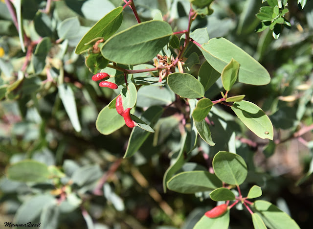
Manzanita bushes are much more prominent members of the chaparral plant community. They are very noticeable any time of the year too. This time however, I was attracted by the red galls on its leaves - a midge nursery, these.
A small red spot inside the bushes got my attention. I've seen the red silene mostly in the north region of California and I was very excited to see them on this trail.
 |
| Cardinal Catchfly, Silene laciniata |
We came upon a trail intersection and continued uphill on the Priest Rock Trail which makes the north arm of the high ridge loop. A few trees cast small patches of shade on the trail but for the most part this trail was very much exposed to the sun.
 |
| Priest Rock Trail |
Little oak bushes make part of the chaparral there. I'm used to seeing oaks as trees but there are other Quercus species which are no bigger than bushes. These little oaks also supported galls, different from those I usually see on live oak or valley oak. I liked this strawberry looking gall.
Where you see flowers you can expect seeing butterflies too. Actually, there weren't as many butterflies as I had expected, and those we did see, didn't cooperate with my camera very much. But here and there I did get to see some, sporting their flying colors.
Very few trees were growing at the ridge itself. Once up there, we resorted to being completely exposed to direct sunlight. By mid day, even the shade of few real trees that we saw was at minimum.
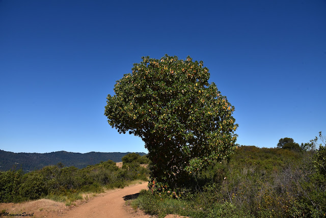 |
| Madrone, Arbutus menziesii |
Even on the ridge the trail wasn't level at all. It undulated up and down at fairly steep grades. We broke new sweat with each curve.
The chaparral community was very interesting and more diverse than what I usually see in the East Bay. I noted that there was no one species that was dominant for a large are, but that the patches of species dominance were pretty small.
 |
| Bush Poppy, Dendromecon rigida |
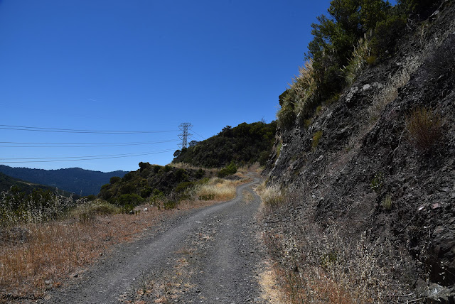
We came upon the intersection with the Kennedy Trail, which crosses the park from northwest to southeast and connects the arms of the high ridge loop we were hiking. The intersection was a high place with an open view to the east and we stood there for some time and admired the length of the trail we were about to turn on to, following its curves with our eyes.
 |
| Kennedy Trail |
We followed with our legs where our eyes had been, turning southeast onto the Kennedy Trail. We were still walking up and down through chaparral but with different views at the high points.
 |
| Manzanita, Arctostaphylos sp. |
There were a few small clearings along the Kennedy Trail. One of them had a private vehicle parked in it, which had me raise my brows - private vehicles aren't supposed to go on that path. We went to the next clearing and stopped there briefly to look around.
I didn't need to look very far to find what I like to find: wildflowers. This time it was a pretty California wild rose in bloom.
 |
| California Wild Rose, Rosa californica |
I couldn't resist including another photo of the blooming chamise here, this time of the entire bush. In season, this plant does look like a cloud has descended from the sky and settled on the hillside.
 |
| Chamise. Adenostoma fasciculatum |
The view east was great. The entire Santa Clara Valley (a.k.a. Silicon Valley) lay below us. Across the valley loomed the Diablo Ridge with Mount Hamilton domineering the scene.
Moning on down (and up) the trail, I had many opportunities to admire another prominent member of the chaparral community - the yerba santa I never figured out why was it named the holy herb but I really love its bloom.
 |
| Yerba Santa, Eriodictyon californicum |
The funny way our route was shaped led us to connect with the Limekiln Trail again, this time on its upper part. We took a sharp turn onto it and started to the northwest, looping back.
Still high on the ridge, we got great views. We got especially good view of Mount Umunhum, now behind us. I had descended it a couple of years before, after having driven to the top. My friend mused about going up there on our next hike. That hasn't happened yet, so we have something to look up to.
We kept on, sweating in the heat of the day. The golden poppies were bright, giving no contrast at all to the camera, under the blazing sun.
I didn't expect to see iris out in the open. I'm used to see them in the partial shade of the forest floor. But there it was: an iris blooming in a completely sunny area near the trail. I didn't complain.
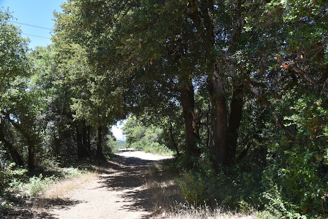
At some point the up-down undulation of the ridge were becoming more down than up. We were descending down from the ridge of the Sierra Azul back towards the Lexington Reservoir. Thankfully, we were also going through areas of shade once more.
There were many madrone trees along the trail now and this one in particular had caught my attention - it's trunk was all twisted in a corkscrew manner.
Coming back to the intersection with the Priest Rock Trail, the same one we were at when going up, we now went on the lower Priest Rock Trail, he south arm of the lower loop.
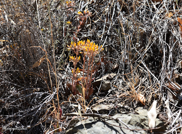
The nice shady forest slope soon changed to once more fully exposed hillside and the trees were replaced by dry grasses and thorns. Some of my favorite wildflowers are thorns, though. I don't touch them, and they don't bite me.
On and on we walked. The trail was no longer undulating but was descending directly down at a mild and steady slope. My friend and I didn't talk much anymore. We had chatted it all already, and the heat really got to us. To me for sure. We frequently paused to drink.
The trail seemed endless now. I was happy to go up at the beginning of the hike because I don't think I'd had managed to make it all the way up in that heat.
A late spring bloomer that we saw all around the high ridge area was the coyote mint. It smelled very good too.
The trail felt endless, but we were losing altitude quickly and I could make the tree tops of the lower area of the park. We didn't pause anymore, but kept walking briskly trying to get to the shade of those trees as quickly as we could.
I don't usually photograph eucalyptus trees. They are an invasive species in California. I do love their looks though. When we reached the forested part of the trail I was very happy to get in their shade.
We had one last stop to rest a bit and to hydrate. After a well needed breather I was more in th mood for appreciating more wildflowers.
The sight of the Lexington Reservoir was a sight for sore eyes and a relief for sore feet. The last lag of our hike was the stretch of road connecting the Priest Rock trailhead with the Limekiln Trailhead where we were parked. Relieved by the shade we covered this stretch of road quickly. There is no shoulder there so we had to march on the asphalt, which was a bit precarious with oncoming cars rushing down around the curve. We deeded to duck into the vegetation a couple of times. Thankfully the traffic wasn't heavy and we made it safely to our parking spot and drove off.
The Sierra Azul is a really pretty open space. For sure I'll hike there again, though probably not in the summer.










nice trail but sounds too tiring... especially on a hot day
ReplyDeleteA beautiful place though. And I'm glad I hiked there, despite the heat :-)
Delete