|
| Bighorn Sheep |
Date: December 28, 2020
Place:Valley of Fire State Park, Las Vegas, Nevada
Coordinates: 36.441083, -114.516093
Length: 0.9 miles
Level: easy
Right off the bat, a short distance into the park we pulled over into a road side parking area and joined the few other cars that were parked there. The attraction that attracted us from the main park road was a herd of bighorn sheep. These sheep were very docile and seemed to be completely non-phased by human presence nearby, allowing is plenty of time to observe them and take photos. This was unprecedented - all other times we've seen the bighorn sheep, as in Carrizo Canyon or in Death Valley, they were very hard to find and when we did find them they were skittish and kept a distant.
 |
| Bighorn Sheep |
It was hard to detach ourselves from the sheep but eventually we did go over to the visitor center which was, to our surprise, open to the pubic. Inside the visitor center we received information about the park and outside the building we had some more encounters with the local wildlife, especially the feathered type.
 |
| Cactus Wren |
Quail are always fun to see. In that part of the country there are no California Quail, but the beautiful Gambel's Quail that are very similar in both colors and behavior.
 |
| Gambel's Quail |
Phainopepla is perhaps the signature bird of the southwest desert, even if it wasn't made famous by a cartoon as the roadrunner (which we didn't get to see that day).
 |
| Phainopepla, male |
At the visitor center we received recommendation for hikes for that day, and shortly after we were parked at the trailhead of the first hike - that of the Mouse's Tank Trail.
 |
| Our hike as captured by my GPS |
The main attraction of the Mouse Tank Trail were the petroglyphs, we were told at the visitor center. We haven't seen a single petroglyph yet and I was already awe-struck by the beauty of the place's geology.
 |
| At the Trailhead |
The rocks here were of red sandstone and the erosion created beautiful patters. The trail was made of fine, red sand. There were other hikers on the trail but it wasn't too crowded.

The trail delved into a canyon. The wider parts of the canyon had quite a bit of vegetation growing there, most of it seemed dry. Of the plants that did look thriving were a number of large cholla cacti.
 |
| Cholla, Cylindropuntia sp. |
About a third of a mile into the hike we came upon the first petroglyph wall, but the first thing that caught my eye wasn't the human-made artifact but an interesting rock shape.

Under certain conditions rocks in arid areas develop what is called, "desert patina" which is a thin dark layer of oxidation - a rust, in a sense. Scratching that surface leaves a contrasting mark, and that is exactly what the ancient people of the desert did when they inscribed the petroglyphs in the rock.

The rock walls of of the petroglyph canyon along the Mouse's Tank Trail are some of the most dense canvases for petroglyphs I've ever seen, both in numbers and in variety of figures and shapes. Many of the figures were easily recognizable as human or animal shapes. Many more figures were completely abstract to me, and I couldn't even imagine what they might have meant to the people who created them.

The large petroglyph walls were an attractive backdrop for people to take their photos with. In two occasions (not that in the photo below) I've seen kids climbing these rocks with their parents cheering them on, which I though in the best case was a bit of a bad taste and in the worse case, could be destructive to the ancient artifacts.

The Valley of Fire is in the high desert and it does get pretty cold in the winter. It was a cold and windy day when we were there, and clouds raced fast high above. No rain was anticipated that day, but we were bundled up for the chill.

Among the plants that I've seen growing in the wash were some rabbitbrush bushes that were in full bloom, as if we were not heading into deep winter. It was lovely to see the unexpected flowers.
 |
| Rabbitbrush |
The next petroglyph wall was high above the wash bed and it was more difficult to see the inscriptions in the rock face.
 |
| Giant Petroglyphs Wall |
The strongest zoom setting of my lens revealed some interesting figures such as the hand prints petroglyphs. The patina of the wall seemed to have peeled off much of the rock face, an erosion that probably eliminated many petroglyphs and had rendered many others much harder to detect because the contrast was gone.
 |
| Giant Petroglyphs Wall Closeup |
Even without the petroglyphs, these rock shapes were interesting and inspiring to the imagination. The one in the photo below reminded me of a pirate skull.

Deeper into the canyon were more petroglyphs, and they were closer to the wash bed and easier to see. I assume that at the time these were created, the wash bed was higher. Otherwise inscribing them would have been a very risky business.

Bighorn sheep were a regular theme in these petroglyphs. They were probably a staple of the local people in ancient times.

For the most part the trail was comfortable enough to simply walk on, but there were places where we needed to hop on some rock face. Nothing too challenging though.

More and more petroglyphs appeared before us the deeper we got into the canyon. The richness of these markings was simply staggering.

I took a huge number of photos on that hike, most of them of petroglyphs. Choosing which to post here was probably the most challenging part of the this hike's accounts. I had to include the ladder and the pronghorn image, of course.

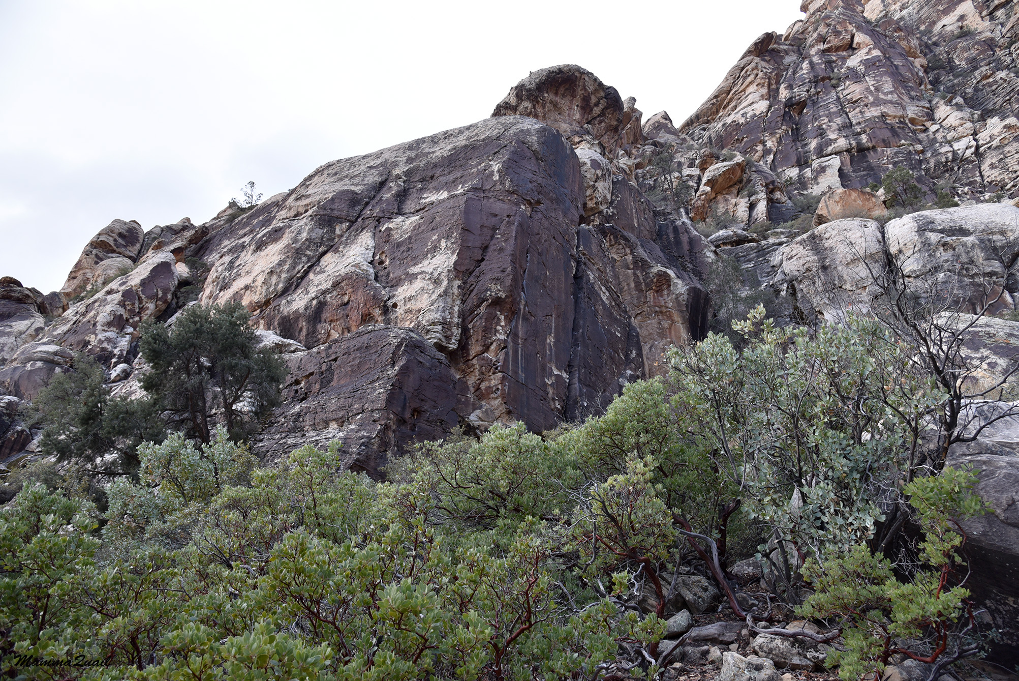
Many of the rocks and the eroded slopes of the canyon looked like they would be fun to climb. The chikas did indeed climb a bit, bit not very high and not for too long. I resisted my urges and stayed below, on the trail.

The clouds were beginning to recede but for the most part we remained shaded from direct sunlight. We did warm up enough to begin peeling off some layers.

The canyon opened up a bit and on the side was a hill that looked holed with many little caves. The caves looked natural and way too small to house people but I presume that animals to find shelter in them when needed.

I took a closeup photo of one of the lower holes. This one did look like people may have blocked the entrance with large stones, but I suspect this is recent work, possibly done by the park authorities to stop visitors from going inside.

We kept moving on down the canyon. We were in fact, going downstream the wash, with the flow of the creak when it flows.

More petroglyphs appeared before us. One of them pictured, very clearly, a hunting scene. In good timing the sun appeared from behind the cloud to shine on the ancient art.

Next to the hunting scene was a petroglyph that looked to me like a barrel cactus, and to its left some marks that could have been a saguaro with some birds flying around it.

Off to the side was a lone human figure engraved in the rock. It wasn't more special than the other human figures we've seen but he looked very lonely there.

A face looked at me from the rock - not a human made one, but a natural rock formation. It looked like a sad baby elephant.

Meanwhile the sun was winning the battle over sky space, and the canyon lit up as the clouds split and moved away.

Rock spires were another prominent feature on the sides of the canyon, each with its own shape and character.

In some places I found erosion holes in their early formation stages, with circular markings just like I saw in the Calico Hills of the Red Rock Canyon NCA.

The canyon curved north and at that spot another tributary wash joined in from the south. The trail continued north and entered a very narrow part of the canyon. We had to squeeze ourselves sideways to go through. We were getting very close to the end of the trail.

At the end of the trail was another large petroglyph wall, but what attracted my attention first was a lovely, lush mesquite bush that was growing near it.

The petroglyphs wall at the end of the trail wasn't was impressive as those we've seen earlier on the trail. We looked at it for a while but we spent more time sitting for a bit of a snack break. It was the point of turning around and walking back.

Walking back up the trail was much faster. We didn't stop anymore at the petroglyph walls or the rock formation - both Pappa Quail and I wanted to squeeze as much as we could into this one day that we allocated for the Valley of Fire, and we didn't want to delay.

It was very nice though, to see the rock spires now fully lit with direct sunlight. This really brought up the lovely red color of the rocks.

Cushions of brittlebush, another one of my favorite desert plants, adorned the rock mounds by the trail side. The brittlebush was past its bloom season and the dry inflorescence stems surrounded the main bush body like a spiky yellow halo.

The canyon opened up and widened - we were getting close to the trailhead and the hills on the other side were already visible.

Like the petroglyphs, I photographed also many rock formations. Here too I had a difficult time choosing which to include in this hike's accounts. One last formation for this blogpost is the rock arch I saw high above the trail. On a different time I might have climbed there - it didn't look difficult and there were plenty of evidence that other people have climbed there before. As it was, I simply admired it from below, then run ahead to follow the rest of my family which were already at the trailhead.

At the trailhead I turned around and took in the view of the hills above the plateau near the trail. The broad scenery was breathtaking.

The ancient people that lived in this desert were very artistically prolific. Like the petroglyphs of Sloan Canyon, those that we saw in the Valley of Fire were many, and very rich in imagery. There is no direct historical link to the people who made these petroglyphs, and we can only guess what they meant and what were the reasons for inscribing them. I am happy to have seen these though, and I hope that they will be preserved for many more years to come.