

Date: July 31, 2018
Place: Dinkey Lakes Wilderness, Prather, California
Coordinates: 37.142310, -119.044124
Length: about 4 miles
Level: Strenuous
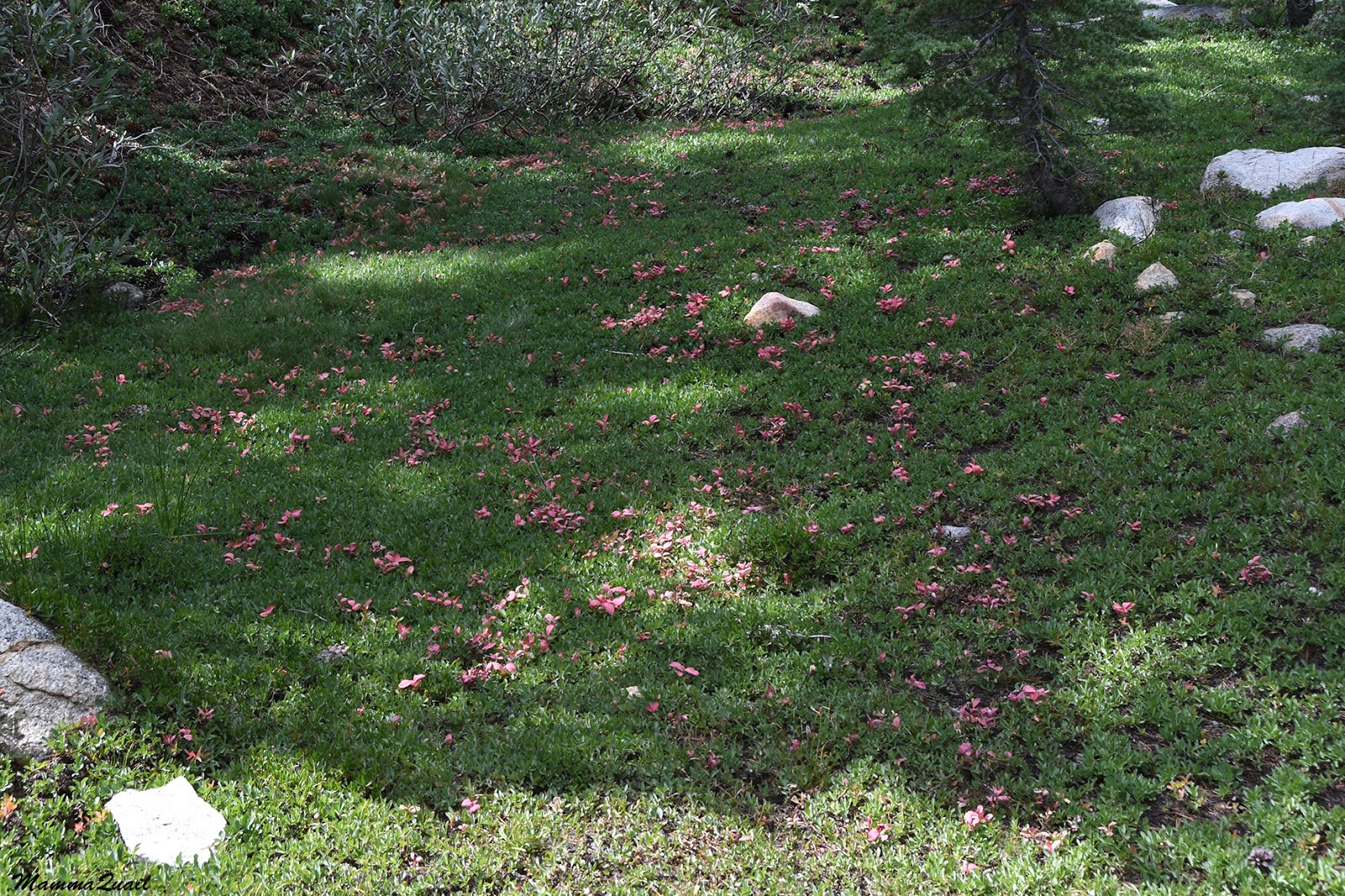
Cliff Lake is one of the many alpine lakes that dot the Dinkey Lakes Wilderness area, and one of the prettier ones. Nestled against a sheer granite cliff and surrounded by a conifer forest, it is the perfect place for a wilderness campout. Had I headed out on my trip earlier the day before that would have been the place to have spend the night at. As it was, I arrived at Cliff Lake in mid-morning, and by the time I was ready to go on it was still before noon. Rock Lake - the first lake over the Dogtooth Pass and where I had planned to spend the next night, was only a short distance away so I decided to have a little side hike to see the nearby Bullfrog Lake.
 |
| My hike from Cliff Lake to Bullfrog Lake and to Rock Lake as captured by my GPS |
 |
| Dogtooth Peak |
 |
| Dogtooth Peak |
I did access the water - I collected a bucketful to wash a few garments, and I hanged them on my backpack to dry. All that time I thought I was alone by that lake, but as I finished washing and got all my things together again I noticed a man walking slowly on the opposite shore. I didn't think much of it, but by the time I was ready to go back up the man approached me and we had a little chat. He told me he was going to go around the slope I came down from and explore a lake that was marked on the map but had no trail leading to it. I was content with going straight uphill and over the pass to Rock Lake.
 |
| Bullfrog Lake |
 |
| Twisted |

I reconnected with the main trail leading up to the Dogtooth Pass. The trail became considerably steeper and I huffed and puffed my way slowly uphill. Dogtooth Peak is the highest point in the Dinkey Lakes Wilderness, with a summit 10302' high. On another time I might have gone up there but on this trip I was going strait over the pass, which was about 9900' high. I had a good reason to hurry - heavy clouds were amassing on the southeast and the sound of thunder was closer than ever and boomed as frequently as one every 30 seconds. I sure didn't want to be caught at the highest point in the area during a lightning storm.
Another group of hikers came down the pass trail. They were in a hurry too, hoping not to get caught in what looked like an inevitable thunderstorm.
This storms, I already knew, can be a very local thing. The clouds could stay to the southeast and miss me altogether. In fact, over cliff Lake which was now way below me to the southwest, there was hardly a cloud.
 |
| Cliff Lake |
I came down to the southern shore of Rock Lake. There, at the most perfect place for camping was a big yellow sign nailed to a tree saying, "No Camping Here". I sighed and went all the way down to the shore where I sat to rest and to filter some water.
Rock Lake was very much like Cliff Lake, except smaller and rounder. to the west there was a large granite rock that seemed to slide into the lake. I assume that rock is what gave the lake its name. The east and north shores had a lovely belt of flat, forested ground, perfect for camping. Two large groups of youth already occupied the eastern and northern shores.
 |
| Rock Lake |
Less than half a mile down to the northwest I came upon the Second Dinkey Lake. It looked like a smaller version of Rock Lake. I gazed around: no tents.
 |
| Second Dinkey Lake |
 |
| My campsite at the Second Dinkey Lake before pitching the tent |
 |
| Brewing storm |
Nature, however, had other plans for me. The storm fell upon me in the middle of my cooking. Suddenly I felt hailstones coming down. I pulled my hat over my head but almost immediately the hail turned to rain. I run to hide my camera inside the tent, and as I walked back to my stove the rain ceased. Wind and thunder continued intensely for a few more minutes, but no more rain or hail came down. By the time I was done eating the storm was over and the clouds thinned and dispelled.
It was late afternoon and I was fed, my campsite all ready for the night, and I had an hour or so still of daylight. The sun was shining brightly again, as if no storm ever blew by just moments ago.
I decided I had enough time to check out another lake that was close by. I took only a bottle of water and my camera and found the trailhead leading to Island Lake.
 |
| My hike from the Second Dinkey Lake to Island Lake and back as captured by my GPS |
 |
| The trail to Island Lake |
 |
| Sierra Penstemon, Penstemon heterodoxus |
 |
| Island Lake |
 |
| Island Lake |

It was the same kind I saw at Cliff Lake, but a large patch of it.
 |
| Narrow-leaved Bur Reed, Sparganium angustifolium |
 |
| Sierra Nevada - view northeast at the Mono Divide from near Island Lake. |
 |
| Reflection. Second Dinkey Lake. |
Meanwhile as the daylight was fading, the groups over at Rock Lake were just starting their evening: a guitar came out (who would carry a guitar on a backpacking trip on top of everything else they need to carry???) and they all started singing. Nice songs, but loud. Rock Lake is over a small ridge and I guess the acoustics of the basin made it so the singing sounded very close to me, although they were about half a mile away.
I had mixed feelings. I liked the singing, but it didn't seem to fit the wilderness settings that called for quiet, and I preferred to hear the nature sounds. Moreover, the sounds of merrymaking intensified my own sensation of loneliness.
 |
| Sunset at the Second Dinkey Lake |
I waited for the sun to disappear below the treetops, then crawled inside my tent. The Rock Lake group kept on singing for quite some time. I don't know for how long because soon I drifted into sleep.
Many thanks to members of the Eastern Sierra & Scenic Hwy 395 group for their help in identifying vista point landmarks.
Link to the next post of this trip
Thank you, thank you, thank you! I experience real joy in your awesome photos of the High Sierras, and reading the details of the hiking day. Your blogs make my days better...my first hike was in 1961, Hetch Hetchy to Tilden up the Jack Main...good memories.
ReplyDeleteThank you for your heart warming response! Sharing my experiences here helps me relive this hike once more and I'm happy to touch other people with my posts :-)
DeleteThe Island lake is indeed beautiful and so is the view from the vista point.
ReplyDeleteThe picture of the storm clouds is great!
I agree with you that the music is not right for the wilderness...
It was a very interesting storm ... lots of noise and hardly any impact. But I'm glad I had the chance to see Island Lake. Next time I'm in that area, that's where I'll camp.
DeleteSo beautiful there!
ReplyDeleteYou know, it is doable as a day hike too ... (hint, hint)
Delete